
Population 12,938 (2001 Census) | OS grid reference SJ390915 Sovereign state United Kingdom Dialling code 0151 | |
 | ||
Houses for sale in stoneycroft liverpool on propertywide
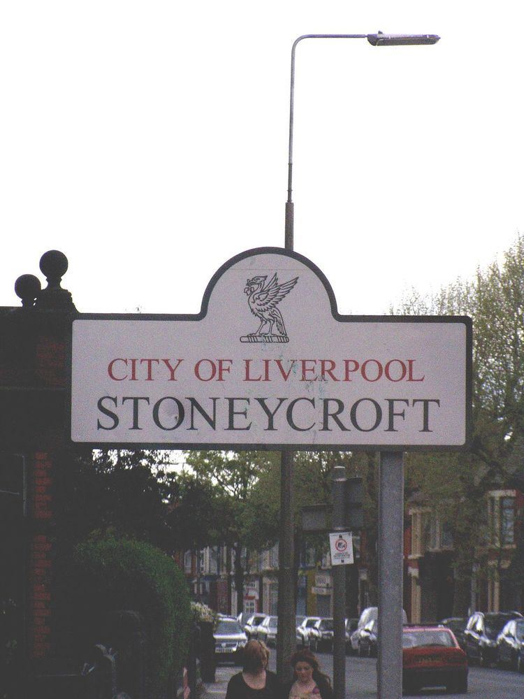
Stoneycroft is an area of inner-city Liverpool, England and part of the Tuebrook and Stoneycroft and Old Swan wards.
Contents
- Houses for sale in stoneycroft liverpool on propertywide
- Map of Stoneycroft Liverpool UK
- Description
- Government
- References
Map of Stoneycroft, Liverpool, UK
Description
Stoneycroft is a small residential district of Liverpool located to the east of city. Liverpool's inner ring-road, Queens Drive, runs past Stoneycroft and creates a border between the area and West Derby. Stoneycroft is also bordered by Tuebrook and Old Swan.
There is a bus depot in Stoneycroft on Green Lane. It is owned by Arriva North West.
Government
Stoneycroft is governed under Tuebrook and Stoneycroft ward. The elected councillors for the Tuebrook and Stoneycroft ward are Councillors Steve Radford, Hazel Williams, and Kevin Morrison, all of the Liberal Party, which is led by Councillor Radford.
It is represented by Stephen Twigg MP in the parliamentary constituency of Liverpool West Derby.