
OS grid reference SK825245 Post town MELTON MOWBRAY District Borough of Melton | Sovereign state United Kingdom Postcode district LE14 Local time Tuesday 3:58 PM Dialling code 01664 | |
 | ||
Weather 13°C, Wind SW at 16 km/h, 73% Humidity | ||
Pork pie roundabout approach stonesby ave right 4th exit city centre
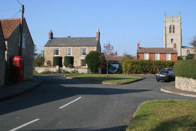
Stonesby is a small village within the Melton borough of Leicestershire, England. It is 6 miles (9.7 km) northeast of Melton Mowbray, and 1.5 miles (2.4 km) southeast of Waltham on the Wolds. The population is included in the civil parish of Sproxton.
Contents
- Pork pie roundabout approach stonesby ave right 4th exit city centre
- Map of Stonesby Melton Mowbray UK
- Wild horses cover rolling stonesby soblunk
- Governance
- Other
- References
Map of Stonesby, Melton Mowbray, UK
Forming part of the Sproxton civil parish, Stonesby broadly consists of a small number of limestone habitats concentrated around the local parish church, set amongst a broad area of arable land.
Wild horses cover rolling stonesby soblunk
Governance
From a very early time, Stonesby formed an ancient parish within the Framland hundred of the historic county boundaries of Leicestershire, though was abolished as a parish in 1936. Between 1894 and 1935, it lay within the Melton Mowbray Rural District, and from 1935 to 1974, within the Melton and Belvoir Rural District.
Since 1974, Stonesby has formed part of the Melton borough of Leicestershire.
Other
The 14th-century parish church is dedicated to Saint Peter. It was renovated in 1875 by R.W. Johnson and is a Grade II* listed building