
Population 8,741 (2011 census) Sovereign state United Kingdom Area 193 ha Local time Tuesday 3:42 PM | OS grid reference TQ2264 Post town EPSOM Dialling code 020 | |
 | ||
Weather 18°C, Wind SW at 18 km/h, 54% Humidity | ||
Stoneleigh is a suburb of southwest London, occupying most of the northern part of the borough of Epsom and Ewell in Surrey, England, with a population of almost 9,000 residents. It is situated 11 miles (18 km) from the centre of London with a few streets in the London Borough of Sutton. In the traditional parish system it was part of Ewell and Cuddington until the building of its church, St John the Baptist, in 1939.
Contents
- Map of Stoneleigh Epsom UK
- Early history
- Later history
- Geography
- Economy
- The Organ Inn
- Demography and housing
- Transport
- Education
- Residents
- References
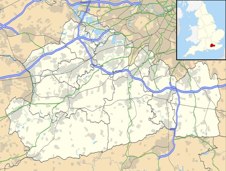
Map of Stoneleigh, Epsom, UK
Stoneleigh was extensively developed from fields into a low rise network of homes in the 1930s, spurred by the building of Stoneleigh railway station. Most of the houses are semi-detached. Stoneleigh's main amenities are the station and Stoneleigh Broadway, its main street, with shops and a post office. Its area, in the angle between the A240 and the A24, comprises the wards of Stoneleigh and Auriol and a small part of the Ewell Court ward of Ewell.
Early history
The Roman road Stane Street passed along the eastern boundary of what is now Stoneleigh (the modern day London Road/A24) on its way from London to Chichester via the nearby spring at Ewell. In the 17th century, the area which is now Stoneleigh was part of the Great Park of Nonsuch Palace. In 1731 the Nonsuch estate was sold off and the Great Park, by then known as Worcester Park was divided up and turned into farmland.
Bowling Green and Coldharbour farms in the north of the park were run jointly and in 1860 were acquired by John Jeffries Stone. He had a large house he called 'Stoneleigh', close to the Bowling Green Farmhouse, which gave its name to the district.
In 1859 the London and South Western Railway opened the Wimbledon and Epsom Line, passing through Stoneleigh, although no commuter station was opened for a further 60 years. Farming was at its peak at the start of the 20th century when there were nearly twenty farms, but the number reduced rapidly after the First World War, as there was great demand for housing it became profitable to sell off the farmland for development.
Later history
Between the world wars, demand for housing on commuter routes into London meant the area grew rapidly. Maps from 1931 show the land was mainly "Meadowland and permanent grass" with patches of "Forest and woodland" and "Heathland, moorland, commons and rough pasture".
Stoneleigh railway station was opened in July 1932, on land acquired from the Stoneleigh Park Estate in July 1931. The first houses were built in 1933 and the first shops on Stoneleigh Broadway opened in November of the same year. The Stoneleigh Hotel, a pub that was never a hotel and is now a Grade II listed building, opened in November 1935 and additional shops were built on the Broadway in the late 1930s.
Stoneleigh railway station was originally to be named 'Stoneleigh Park' to denote that it was an area of market gardening, but this did not happen, probably due to the next three stations on the line north all being called 'Park' (Worcester Park, Motspur Park and Raynes Park). In 1938 the Rembrandt cinema was opened, next to the railway line on the Kingston Road. It operated for 60 years until its closure in April 1998. The building was subsequently demolished and replaced by flats. The red-brick Anglican church of St John the Baptist, next to the station, was built in 1939. Two large schools were built in Stoneleigh in the 1930s to accommodate the large suburban growth in the area, as well as several churches.
From the Victorian era until c.1939 many homes were built in Stoneleigh Park, replacing market gardens and small farms, on what was the northern part of the parish of Ewell and part of Cuddington. There was also a brick, tile, and pottery works, called the Nonsuch Works and two flour mills.
Geography
Stoneleigh comprises the residential areas either side of the Mole Valley Line including Stoneleigh Broadway towards its midpoint, which is 2.8 miles (4.5 km) from Epsom town centre. The suburb has no high rise buildings. It contains or borders two mostly dual carriageway A-roads; the northeast side of the A240 Kingston Road and Ewell Bypass in the Ewell Court, Auriol and Stoneleigh wards, and the A24 from near the Organ Crossroads to the traffic lights with Sparrow Farm Road, via a hill beside Nonsuch Park with two entrances to the park near where Stane Street used to be.
Stoneleigh's traditional boundaries were much smaller, but it has become associated with an area extending as far as the Kingston Road (A240) in the west, The Organ Crossroads to the south, the A24 by Nonsuch Park in the southeast, Sparrow Farm Road to the northeast and Timbercroft and Auriol Park to the northwest. Auriol Park, for example, is in the Auriol Ward but is in the KT4 Worcester Park post town. The area of the Ewell Court Ward east of Kingston road in the KT19 postcode is considered to be in Stoneleigh.
Economy
Stoneleigh has one main shopping area: The Broadway, next to Stoneleigh railway station. It is about 260 metres in length and has around 40 retail units including some chains and restaurants, as well as a post office and two pubs. The largest shop is a Co-Op on the south side of the Broadway, although a Sainsbury's is scheduled to open on the north side, in the buildingly vacated by Budgens in January 2017. Also on the north side of The Broadway is Stoneleigh Library, which opened in 1966. It has been run by volunteers since 2013. Stoneleigh also has smaller parades and shopping areas including:
The Organ Inn
The Organ Inn was a landmark pub located on the southern boundary junction of Stoneleigh where the A24, A240 and B2200 roads intersect. It opened in the 1780s as the drinking place of the workmen who fitted the Father Willis organ in St Mary’s Church in Ewell. It was later converted into a bar/restaurant, firstly under the name Jim Thompsons and finally The Organ and Dragon.
The pub closed on 18 July 2012 after around 230 years of business. The building was demolished in June 2014 after supermarket chain Lidl bought the site. The demolishing of the Organ and Dragon was criticized by local MP Chris Grayling. Kentucky Fried Chicken had previously owned the site and had unsuccessfully applied for planning permission to turn it into one of their restaurants .
Demography and housing
At the time of the 2001 Census Stoneleigh Ward had a population of 4,700, an increase of 3.6% from 1991, with 2,378 females and 2,322 males. Auriol Ward is the smallest in the Borough with a population of 3,687 in the 2001 Census, a decrease of 19% from 1991, with 1,858 females and 1,829 males. This decrease in population is because of the area lost to the Ewell Court ward, where the population increased by 19%.
Transport
Stoneleigh railway station is served by trains running between London Waterloo and Guildford or Dorking, via Wimbledon and Epsom.
Three bus routes go either through or along the edge of Stoneleigh. The E16 (Stoneleigh Circular) stops at both Station Approach and Stoneleigh Broadway along its circular route, which also runs through Epsom, Ewell and Worcester Park. The 406 bus (between Kingston and Epsom) runs along the A240 past Park Avenue West, Stoneleigh Park Road and Thorndon Gardens and the 293 bus (between Morden and Epsom) runs along the A24 (London Road) alongside Nonsuch Park.
Education
There are four schools in Stoneleigh: the Mead Infant School and Auriol Junior School are in the Auriol Ward, with Nonsuch Primary School and Meadow Primary School in the Stoneleigh Ward.
The Mead Infant School on Newbury Gardens is for children from nursery year to school year 2. It is adjacent to Auriol Junior School on Vale Road which caters for children in school years 3 to 6. The two schools in the Stoneleigh Ward are both Primary Schools, catering for children up to school year 6. Meadow Primary School on Sparrow Farm Road was formed by the merger of Stoneleigh First School and Sparrow Farm Junior School. Nonsuch Primary School on Chadacre Road is run by Sutton Council despite being situated in Epsom and Ewell.
Residents
Playwright John Osborne lived at 68 Stoneleigh Park Road. His grandparents lived at the end of Clandon Close. He recounted his experiences as an adolescent living in 1930s and 1940s Stoneleigh and Ewell in his 1981 autobiography, A Better Class of Person.
Writer Jane Wilson-Howarth lived in Stoneleigh and was educated at Stoneleigh East County Infants, Junior and Secondary Schools.