
Topo map OS Landranger 193 | OS grid SY396936 Elevation 148 m Parent range Purbeck Hills | |
 | ||
People also search for Chardown Hill, Eggardon Hill, Pilsdon Pen | ||
A day out to stonebarrow hill and golden cap dorset
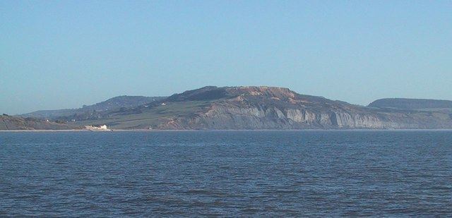
Stonebarrow Hill is a hill, east of Charmouth, near the Dorset coast in southern England. It has a height of 148 metres (486 ft) and forms the west-southwestern spur of Chardown Hill. Stonebarrow and the surrounding area is notable for its landslides. The hill is often a starting point for walks around the Golden Cap estate.
Contents
Map of Stonebarrow Hill, Bridport, UK
There is a National Trust Centre at Stonebarrow Hill and also a permanent orienteering course established by Wimborne Orienteers in conjunction with the Trust.
References
Stonebarrow Hill Wikipedia(Text) CC BY-SA