
Population 392 (2001) (Parish) Sovereign state United Kingdom Local time Tuesday 2:40 PM | OS grid reference TQ939278 Post town TONBRIDGE Dialling code 01233 | |
 | ||
Weather 15°C, Wind SW at 23 km/h, 68% Humidity | ||
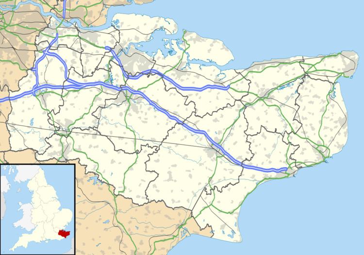
Stone in Oxney is a village south of Ashford in Kent, South East England, in the civil parish of Stone-cum-Ebony near Appledore.
Map of Stone in Oxney, Tenterden, UK
The village is 11 miles (18 km) south east of Tenterden, and stands in a position on the eastern side of the Isle of Oxney. The stone that gives the village its name is preserved in the village church, and is of Roman origin. Often thought to be an altar of Mithras, it in fact depicts Apis.
The Saxon Shore Way, a long distance walking route tracing the old Saxon shoreline, passes through the parish.
References
Stone in Oxney Wikipedia(Text) CC BY-SA