
Founded 1859 Elevation 237 m Area code 765 | State Indiana Time zone EST (UTC-5) Zip code 47983 Local time Tuesday 5:51 AM | |
 | ||
Weather 7°C, Wind N at 18 km/h, 91% Humidity | ||
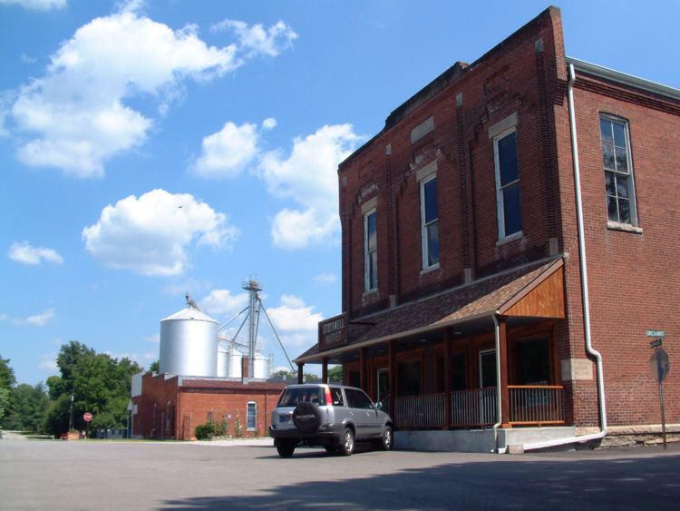
Stockwell, originally named Lauramie, is a census-designated place in Lauramie Township, Tippecanoe County, in the U.S. state of Indiana. It was once a stop along the Indianapolis, Cincinnati and Lafayette Railroad, but the rail line has since been removed.
Contents
Map of Stockwell, IN 47909, USA
The community is part of the Lafayette, Indiana Metropolitan Statistical Area.
History
An old variant name of the community was called Bakers Corner.
A post office was established under the name Bakers Corner in 1853, and was renamed to Stockwell in 1859. It is still currently in operation.
Geography
Stockwell is located at 40°17′10″ N, 86°46′16″ W (40.286111, -86.771111) at an elevation of 776 feet. The town sits near a bend in Lauramie Creek in Lauramie Township, less than two miles west of U.S. Route 52. Stockwell had a population of 545 at the 2010 census.