
Country United States FIPS code 27-62896 Elevation 229 m Zip code 55988 Population 710 (2013) | Time zone Central (CST) (UTC-6) GNIS feature ID 0652652 Area 4.4 km² Local time Tuesday 4:45 AM Area code 507 | |
 | ||
Weather 0°C, Wind SE at 0 km/h, 100% Humidity | ||
Stockton is a city in Winona County, Minnesota, United States. The population was 697 at the 2010 census.
Contents
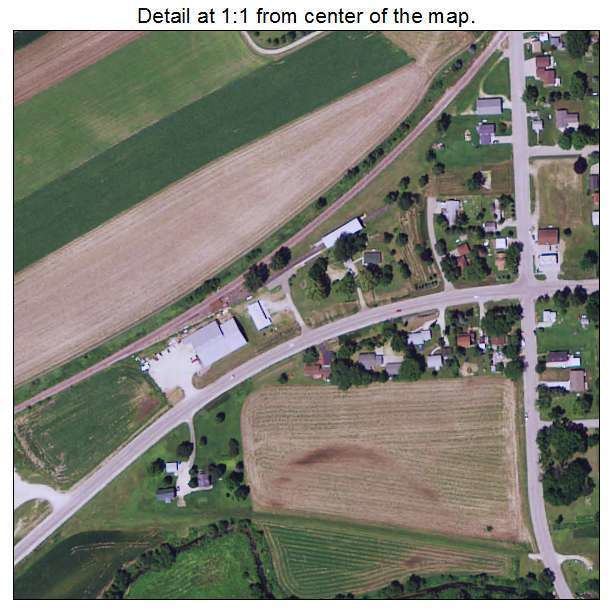
Map of Stockton, MN 55987, USA
History
Stockton was platted in 1856. The city was named after J. B. Stockton, an early landowner. A post office was established at Stockton in 1855, and remained in operation until 1959.
Geography
According to the United States Census Bureau, the city has a total area of 1.70 square miles (4.40 km2), all of it land.
2010 census
As of the census of 2010, there were 697 people, 260 households, and 194 families residing in the city. The population density was 410.0 inhabitants per square mile (158.3/km2). There were 282 housing units at an average density of 165.9 per square mile (64.1/km2). The racial makeup of the city was 95.8% White, 0.7% African American, 2.4% Asian, 0.4% from other races, and 0.6% from two or more races. Hispanic or Latino of any race were 1.7% of the population.
There were 260 households of which 34.2% had children under the age of 18 living with them, 60.8% were married couples living together, 7.3% had a female householder with no husband present, 6.5% had a male householder with no wife present, and 25.4% were non-families. 18.5% of all households were made up of individuals and 5% had someone living alone who was 65 years of age or older. The average household size was 2.68 and the average family size was 3.02.
The median age in the city was 35.9 years. 25.4% of residents were under the age of 18; 7.8% were between the ages of 18 and 24; 27.3% were from 25 to 44; 30.6% were from 45 to 64; and 9% were 65 years of age or older. The gender makeup of the city was 51.2% male and 48.8% female.
2000 census
As of the census of 2000, there were 682 people, 236 households, and 184 families residing in the city. The population density was 419.0 people per square mile (161.5/km²). There were 246 housing units at an average density of 151.1 per square mile (58.3/km²). The racial makeup of the city was 99.12% White, 0.44% Native American, 0.15% Asian, and 0.29% from two or more races. Hispanic or Latino of any race were 0.29% of the population.
There were 236 households out of which 44.5% had children under the age of 18 living with them, 61.4% were married couples living together, 8.9% had a female householder with no husband present, and 22.0% were non-families. 17.4% of all households were made up of individuals and 7.2% had someone living alone who was 65 years of age or older. The average household size was 2.89 and the average family size was 3.26.
In the city, the population was spread out with 32.1% under the age of 18, 9.2% from 18 to 24, 32.3% from 25 to 44, 17.7% from 45 to 64, and 8.7% who were 65 years of age or older. The median age was 31 years. For every 100 females there were 107.9 males. For every 100 females age 18 and over, there were 101.3 males.
The median income for a household in the city was $41,250, and the median income for a family was $47,159. Males had a median income of $30,000 versus $22,778 for females. The per capita income for the city was $17,038. About 1.7% of families and 4.1% of the population were below the poverty line, including 5.7% of those under age 18 and 1.6% of those age 65 or over.