
Country United States Time zone CST (UTC-6) Elevation 203 m Population 243 (2010) | Established September 1864 ZIP codes 60953, 60966, 60967 Area 138.6 km² Local time Tuesday 4:05 AM | |
 | ||
Weather 4°C, Wind N at 14 km/h, 91% Humidity | ||
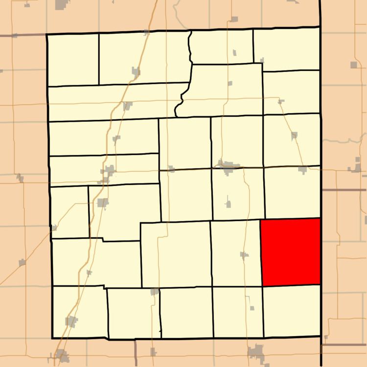
Stockland Township is one of twenty-six townships in Iroquois County, Illinois, USA. As of the 2010 census, its population was 243 and it contained 122 housing units. Stockland Township formed as Crab Apple Township in September 1864, but changed its name to Stockland Township on an unknown date.
Contents
- Map of Stockland Township IL USA
- Geography
- Unincorporated towns
- Cemeteries
- Airports and landing strips
- Landmarks
- Political districts
- References
Map of Stockland Township, IL, USA
Geography
According to the 2010 census, the township has a total area of 53.51 square miles (138.6 km2), all land.
Unincorporated towns
(This list is based on USGS data and may include former settlements.)
Cemeteries
The township contains Sugar Creek Chapel Cemetery.
Airports and landing strips
Landmarks
Political districts
References
Stockland Township, Iroquois County, Illinois Wikipedia(Text) CC BY-SA