
Population 24,319 (2011.Ward) | OS grid reference SP095915 Sovereign state United Kingdom Dialling code 0121 | |
 | ||
Testimonial from member of staff at stockland green school 2
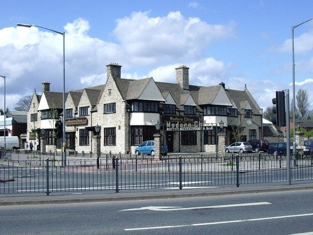
Stockland Green is an area of Birmingham, England.
Contents
- Testimonial from member of staff at stockland green school 2
- Map of Stockland Green Birmingham UK
- Demographics
- Politics
- Places of interest
- Transport
- References
Map of Stockland Green, Birmingham, UK
It gives its name to a ward which is part of the Erdington formal district, and is located to the south-west of Erdington and north-east of Birmingham City Centre. The ward comprises the areas Gravelly Hill as well as Stockland Green itself.
Demographics
The 2001 Population Census recorded that there were 23,060 people living in the ward with a population density of 4,487 people per km² compared with 3,649 people per km² for Birmingham. 24.7% (5,706) of the ward's population consists of ethnic minorities compared with 29.6% for Birmingham in general.
Politics
The ward was dominated by the Labour Party between the mid-1980s to 2007 and sent three Labour councillors to Birmingham City Council. However, in 2008 this changed when Matt Bennett won for the local Conservative Party.
Stockland Green has a Ward Support Officer.
Places of interest
Points of interest include Witton Cemetery, one of the largest cemeteries in the Midlands, which can be seen from the M6 motorway. Other areas include the Josiah Mason/Stockland Green complex of schools and colleges and Witton lakes, an area of local beauty.
A rocky outcrop is located along the Tyburn Road. There are two major areas of open space; Bleak Hill Recreation Ground and Brookvale Park, which contains a large lake.
Stockland Green Community Leisure Centre serves the area. Stockland Green City Learning Centre is an ICT facility in the area with a range of equipment and software and is used by schools and businesses.
Transport
Three major roads dissect the area; Tyburn Road (A38), Gravelly Hill (A5127) and Reservoir Road (A4040). The M6 motorway is situated in the southern boundary of the ward.
Gravelly Hill railway station on the Cross-City Line is the only railway station within the ward.