
Country United States County Barton Time zone Central (CST) (UTC-6) Elevation 596 m | State Kansas ZIP code 67544 | |
 | ||
Weather 15°C, Wind E at 14 km/h, 49% Humidity | ||
Stickney is an unincorporated area in Wheatland Township, Barton County, Kansas, United States. It is the site of a grain elevator, but there is no community or settlement at Stickney.
Contents
History
A post office opened at Stickney in 1898 and remained in operation until 1913.
Geography
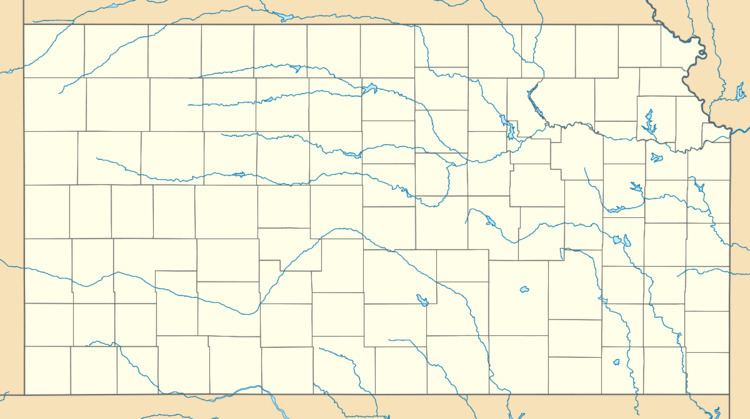
Stickney is located at 38°38′17″N 98°49′46″W (38.6380672, -98.8295292) at an elevation of 1,955 feet (596 m). It is 1 mile (1.6 km) east of U.S. Route 281 and 19 miles (31 km) north of Great Bend, the county seat.
Stickney lies roughly 1.5 miles (2.4 km) east of Sellens Creek, a tributary of the Smoky Hill River, in the Smoky Hills region of the Great Plains.
Transportation
Stickney lies at the intersection of NW 190 Road, a paved east–west county road, and NW 30 Avenue, an unpaved north–south county road.
The Atchison, Topeka and Santa Fe Railway formerly operated a freight rail line that ran east–west through Stickney, but the line has since been removed.