OS grid reference TF981282 Sovereign state United Kingdom | Civil parish Stibbard Area 7.3 km² Dialling code 01328 UK parliament constituency Broadland | |
 | ||
Population 346 (parish, 2011 census) | ||
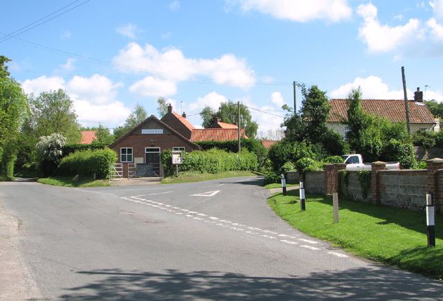
Stibbard is a village and civil parish in the English county of Norfolk. The village is 19.3 miles (31.1 km) south-west of Cromer, 21.2 miles (34.1 km) north-west of Norwich and 120 mi (190 km) north-east of London. The village lies 4.9 miles (7.9 km) south-east of the nearby town of Fakenham. The nearest railway station is at Sheringham for the Bittern Line which runs between Sheringham, Cromer and Norwich. The nearest airport is Norwich International Airport.
Map of Stibbard, UK
It covers an area of 7.30 km2 (2.82 sq mi) and had a population of 365 in 149 households at the 2001 census, the population falling to 346 at the 2011 Census. For the purposes of local government, it falls within the district of North Norfolk.
References
Stibbard Wikipedia(Text) CC BY-SA
