
Country United States FIPS code 27-62806 Elevation 374 m Population 6,045 (2013) Area code 507 | Time zone Central (CST) (UTC-6) GNIS feature ID 0652636 Zip code 55976 Local time Monday 6:28 PM | |
 | ||
Weather 7°C, Wind N at 11 km/h, 82% Humidity Area 8.003 km² (7.874 km² Land / 13 ha Water) | ||
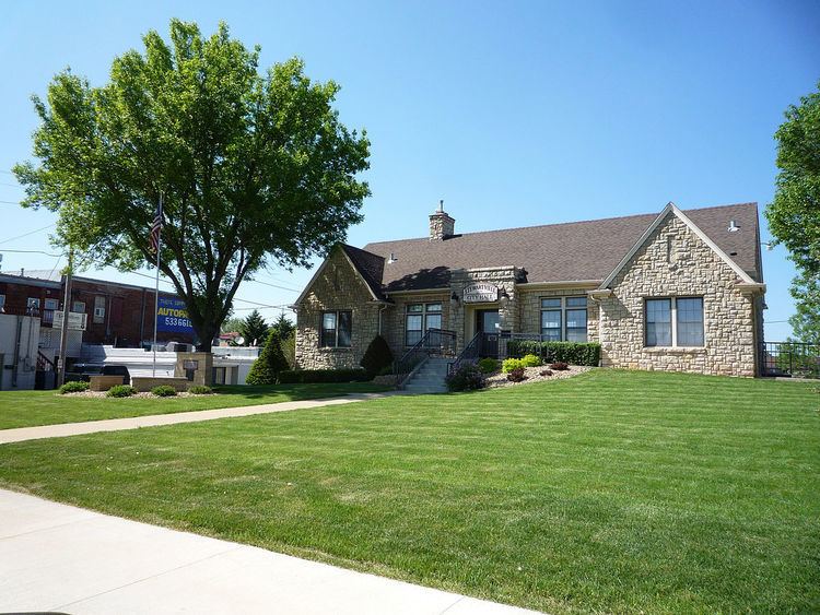
Stewartville is a city in Olmsted County, Minnesota, United States. The population was 5,916 at the 2010 census. Stewartville has experienced growth as a result of its location just south of Rochester.
Contents
- Map of Stewartville MN 55976 USA
- History
- Geography
- 2010 census
- 2000 census
- Notable people
- Climate
- References
Map of Stewartville, MN 55976, USA
History
Stewartville was founded in the 1850s by Charles Stewart, and named for him. A post office has been in operation at Stewartville since 1858.
Geography
According to the United States Census Bureau, the city has a total area of 3.09 square miles (8.00 km2), of which 3.04 square miles (7.87 km2) is land and 0.05 square miles (0.13 km2) is water.
U.S. Route 63 and Minnesota State Highway 30 are two of the main routes in the city.
Interstate 90 is immediately north and west of Stewartville.
Stewartville is part of the Rochester, MN Metropolitan Statistical Area.
2010 census
As of the census of 2010, there were 5,916 people, 2,318 households, and 1,596 families residing in the city. The population density was 1,946.1 inhabitants per square mile (751.4/km2). There were 2,425 housing units at an average density of 797.7 per square mile (308.0/km2). The racial makeup of the city was 97.5% White, 0.5% African American, 0.2% Native American, 0.5% Asian, 0.4% from other races, and 0.9% from two or more races. Hispanic or Latino of any race were 1.5% of the population.
There were 2,318 households of which 38.1% had children under the age of 18 living with them, 53.3% were married couples living together, 11.4% had a female householder with no husband present, 4.2% had a male householder with no wife present, and 31.1% were non-families. 25.8% of all households were made up of individuals and 11.3% had someone living alone who was 65 years of age or older. The average household size was 2.52 and the average family size was 3.02.
The median age in the city was 34.6 years. 28.2% of residents were under the age of 18; 7.6% were between the ages of 18 and 24; 27.8% were from 25 to 44; 22.5% were from 45 to 64; and 14% were 65 years of age or older. The gender makeup of the city was 47.5% male and 52.5% female.
2000 census
As of the census of 2000, there were 5,411 people, 2,013 households, and 1,417 families residing in the city. The population density was 2,579.6 people per square mile (994.9/km²). There were 2,074 housing units at an average density of 988.7 per square mile (381.3/km²). The racial makeup of the city was 97.10% White, 0.70% African American, 0.30% Native American, 0.52% Asian, 0.02% Pacific Islander, 0.33% from other races, and 1.03% from two or more races. Hispanic or Latino of any race were 1.00% of the population.
There were 2,013 households out of which 41.8% had children under the age of 18 living with them, 55.9% were married couples living together, 10.7% had a female householder with no husband present, and 29.6% were non-families. 23.8% of all households were made up of individuals and 9.7% had someone living alone who was 65 years of age or older. The average household size was 2.61 and the average family size was 3.13.
In the city, the population was spread out with 30.2% under the age of 18, 8.2% from 18 to 24, 30.6% from 25 to 44, 19.2% from 45 to 64, and 11.8% who were 65 years of age or older. The median age was 33 years. For every 100 females there were 89.5 males. For every 100 females age 18 and over, there were 85.2 males.
The median income for a household in the city was $44,135, and the median income for a family was $52,037. Males had a median income of $34,162 versus $24,838 for females. The per capita income for the city was $18,780. About 2.9% of families and 5.4% of the population were below the poverty line, including 4.2% of those under age 18 and 14.8% of those age 65 or over.
Notable people
Climate
The Köppen Climate Classification subtype for this climate is "Dfb" (Warm Summer Continental Climate).