
- location Port Stewart | - elevation 580 m (1,903 ft) - elevation 0 m (0 ft) | |
 | ||
- left Station Creek (Queensland), Little Stewart Creek | ||
The Stewart River is a river located in the Cape York Peninsula of Far North Queensland, Australia.
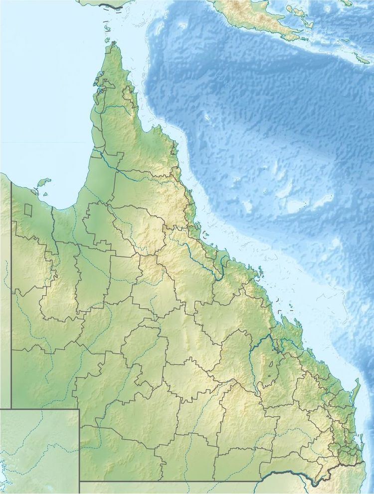
Map of Stewart River, Coen QLD, Australia
The headwaters of the Stewart River rise in McIlwraith Range, part of the Great Dividing Range, northeast of Coen. The river flows generally south, then south by east and then finally east, joined by two minor tributaries before reaching its mouth and emptying into the Coral Sea at Port Stewart. The river descends 580 metres (1,900 ft) over its 92-kilometre (57 mi) course.
The river has a catchment area of 2,743 square kilometres (1,059 sq mi) of which an area of 81 square kilometres (31 sq mi) is composed of estuarine wetlands.
The river was named after a member of the 1872 exploration party led by William Hann with the family name of Stewart.
References
Stewart River (Queensland) Wikipedia(Text) CC BY-SA