Airport type Public Elevation AMSL 1,110 ft / 338 m 6,028 1,837 Elevation 338 m | 3/21 6,028 Code STE Phone +1 715-345-8989 | |
 | ||
Address 4501 WI-66, Stevens Point, WI 54482, USA Similar Central Wisconsin Airport, Stevens Point City Clerk, Clerk of Courts, University of Wisconsi, Stevens Point Area Conventi | ||
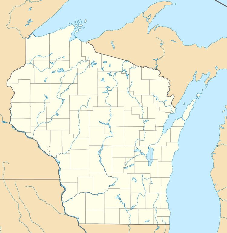
Stevens Point Municipal Airport (IATA: STE, ICAO: KSTE, FAA LID: STE) is a public airport located three miles (5 km) northeast of the central business district of Stevens Point, a city in Portage County, Wisconsin, United States. It is owned and operated by the city of Stevens Point. It is included in the Federal Aviation Administration (FAA) National Plan of Integrated Airport Systems for 2017–2021, in which it is categorized as a regional general aviation facility.
Contents
Facilities and aircraft
Stevens Point Municipal Airport covers an area of 725 acres (293 ha) at an elevation of 1,110 feet (338 m) above mean sea level. The airport contains two asphalt paved runways: 3/21 measuring 6,028 x 120 ft (1,837 x 37 m) with approved ILS and GPS approaches and 12/30 measuring 3,635 x 75 ft (1,108 x 23 m) with approved GPS approaches.
For the 12-month period ending July 2, 2014, the airport had 36,750 aircraft operations, an average of 101 per day: 91% general aviation, 8% air taxi and <1% military. In March 2017, there were 51 aircraft based at this airport: 45 single-engine, 2 multi-engine, 2 jet and 2 ultralights.
Cargo operations
In 2017, aircraft flight tracking shows Freight Runners Express flying their Beechcraft Model 99 aircraft type for Stevens Point cargo operations.
