
Country Cambodia Capital Stung Treng Time zone UTC+07 Area 11,092 km² Area code +855 | Provincial status 1907 Area rank Ranked 8th Dialing code +855 Population 111,734 (2008) | |
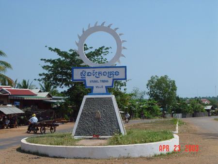 | ||
Trip to steung treng province
Steung Treng (Khmer: ស្ទឹងត្រែង, [stɘŋ traeːŋ] "River of Reeds"; Lao: ຊຽງແຕງ Xiang Taeng; Thai: เชียงแตง Chiang Taeng "City of Melons") is a province (khaet) of Cambodia located in the northeast. It borders the provinces of Ratanakiri to the east, Mondulkiri and Kratie to the south and Kampong Thom and Preah Vihear to the west. Its northern boundary is Cambodia's international border with Laos. The Mekong river crosses the province roughly through the center.
Contents
- Trip to steung treng province
- Map of Steung Treng Province Cambodia
- History of Stung Treng
- Administration
- Notable People
- References
Map of Steung Treng Province, Cambodia
History of Stung Treng
Stung Treng was first a part of the Khmer Empire, then the Lao kingdom of Lan Xang and later the Lao kingdom of Champassack. After the Franco-Siamese war of 1893, Chiang Taeng (Stung Treng) was administered by French Lower Laos from 1893 to 1904. In 1904 French Laos traded the province to the French Protectorate of Cambodia in exchange for Champassak, leaving a small Laotian minority in Cambodia.
Owing to its border location and the forested mountain areas in the northeast of the province, there was much communist guerrilla activity in Stung Treng during Cambodia's recent past. The insurgency lasted from the Vietnamese infiltration in the 1950s until the late Khmer Rouge years.
Administration
Stung Treng Province's capital is Stung Treng town.
The province is subdivided into 5 districts.