
 | ||
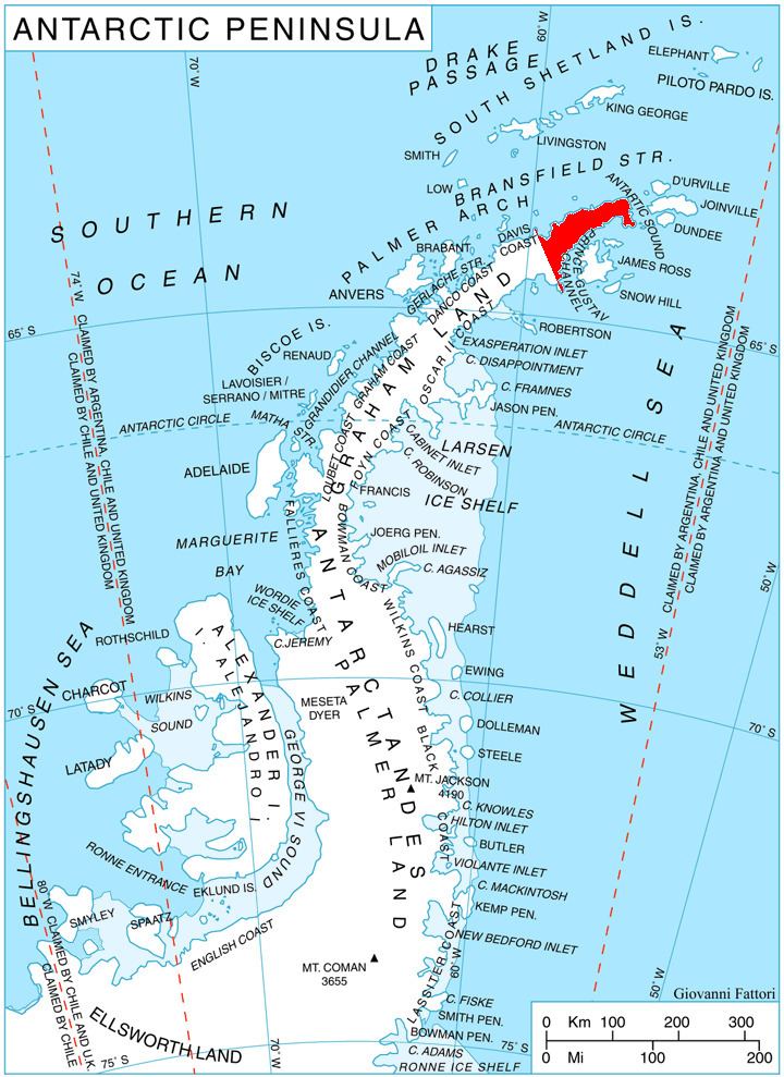
Stepup Col (63°34′S 57°51′W) is a snow-covered north-south running col linking Broad Valley and Cugnot Ice Piedmont, between the east end of Louis Philippe Plateau and Kumata Hill, Trinity Peninsula. The name given by United Kingdom Antarctic Place-Names Committee (UK-APC) is descriptive, as 100 ft in height is gained when the col is traversed in a northerly direction.
Map
This article incorporates public domain material from the United States Geological Survey document "Stepup Col" (content from the Geographic Names Information System).
References
Stepup Col Wikipedia(Text) CC BY-SA