
OS grid reference SK336309 Sovereign state United Kingdom Dialling code 01332 | Civil parish Stenson Fields Post town DERBY | |
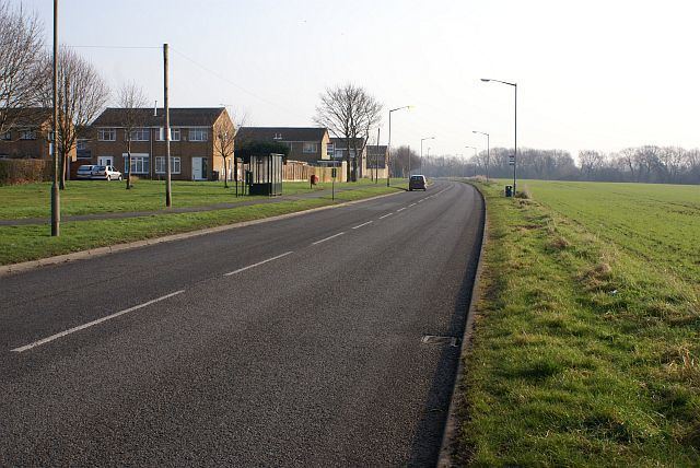 | ||
Stenson Fields is a modern suburban housing development and civil parish in the South Derbyshire district of Derbyshire, England. The parish is contiguous with Sinfin, a southern area of Derby, but is just outside the city boundary. Stenson Fields is located approximately 3 miles (4.8 km) south-southwest of Derby city centre. The housing in the area largely dates from the 1970s onwards. The parish was created in 1983 from parts of the neighbouring Barrow upon Trent and Twyford and Stenson parishes. Together with Twyford and Stenson, Stenson Fields is part of South Derbyshire district's Stenson electoral ward.
Map of Stenson Fields, UK
There is one school in the area, Stenson Fields Primary Community School. There is also one place of worship, Stenson Fields Christian Fellowship, which is an independent evangelical church. Shops and other amenities are located just outside the parish boundary at the Sinfin District Centre.