
Elevation 181.4 m (595 ft) Country Germany | Length 7 km (4.3 mi) | |
 | ||
States | ||
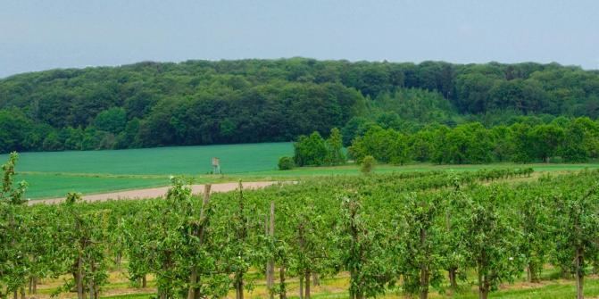
The Stemweder Berg (also called the Stemmer Berge) is a ridge up to 181.4 metres (595 ft) above sea level. on the border of North Rhine-Westphalia and Lower Saxony in Germany. It is the northernmost and smallest of Germany's Central Uplands ranges.
Contents
Map of Stemweder Berg, 32351 Stemwede, Germany
Like the adjacent municipality of Stemwede, the ridge gets its name from the medieval Free County (Freigrafschaft) of Stemwede.
LocationEdit
The Stemweder Berg lies on the southern rim of the North German Plain.
ReliefEdit
Amongst the elevations on the Stemweder Berg are the following − sorted by height in metres above Normalnull (NN):
Abbreviations: Lower Saxony = LS, North Rhine-Westphalia = NRW
StreamsEdit
Amongst the streams near the Stemweder Berg are the:
References
Stemweder Berg Wikipedia(Text) CC BY-SA