
Prominence 74 m | Elevation 2,615 m | |
 | ||
Normal route along the Heilbronn Way Similar Bockkarkopf, Hohes Licht, Wilder Mann, Mädelegabel, Hochfrottspitze | ||
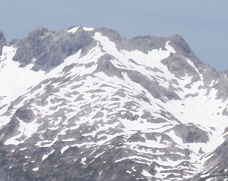
The Steinschartenkopf is a rocky peak, 2,615 m, in the Hochlicht range in the Allgäu Alps. It is located between the Wilder Mann to the north and the Hohes Licht to the south and is the sixth highest summit in the Allgäu Alps. The popular Heilbronn Way (Heilbronner Weg) runs over the summit.
Contents
Map of Steinschartenkopf, 6654, Austria
AscentEdit
The Steinschartenkopf is usually only climbed as part of a hike along the Heilbronn Way. As a destination in its own right it is of limited interest, but it is the highest point on the whole of the Heilbronn Way. From the direction of the Rappensee Hut the only ladder of the mountain path runs up to the summit. After a few metres further, a ladder bridge leads to the path in the directino of the Socktalscharte col.
LiteratureEdit
References
Steinschartenkopf Wikipedia(Text) CC BY-SA