
Elevation 275 m (902 ft) Area 253 ha Local time Monday 9:45 AM Dialling code 036083 | Time zone CET/CEST (UTC+1/+2) Population 261 (31 Dec 2008) Postal code 37318 | |
 | ||
Weather 7°C, Wind SE at 5 km/h, 62% Humidity | ||
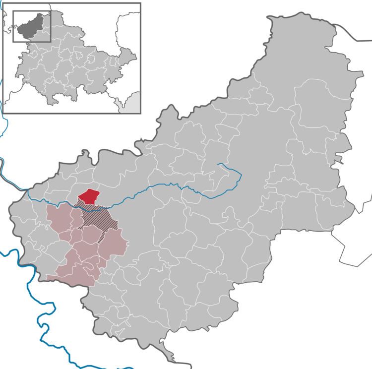
Steinheuterode is a small municipality in the district of Eichsfeld in Thuringia, in the center of Germany.
Contents
Map of 37318 Steinheuterode, Germany
Location
It is located at an altitude of 316 m at the foot of the Steinberg hill, and is surrounded by forest. The houses are arranged around the St. Alban church and a community center.
Coat of arms
In the center of Steinheuterode's coat of arms is a billygoat, which refers to the nickname of the inhabitants: Steintreeder Zeggenböcke. There is a golden oak leaf on the left, representing the location of the municipality in Eichsfeld. The stump in the foreground is symbolic of the establishment of the village as a clearance village. The mountain at the bottom represents the location of Steinheuterode, at the foot of the Steinberg.
History
The first time the village was documented was in 1228, when it was called Hauwerterode. To distinguish it from the Eichsfeldian village Wüstheuterode, the prefix Stein was added. A manor was built in 1575 and in 1732 the fountain Regine was constructed in the courtyard of the manor, which today serves as a community center.