
District Westerwaldkreis Elevation 378 m (1,240 ft) Area 8.3 km² Population 809 (31 Dec 2008) Dialling code 02662 | Time zone CET/CEST (UTC+1/+2) Local time Monday 9:19 AM Postal code 57629 | |
 | ||
Weather 5°C, Wind SE at 14 km/h, 63% Humidity | ||
Steinebach an der Wied is an Ortsgemeinde – a community belonging to a Verbandsgemeinde – in the Westerwaldkreis in Rhineland-Palatinate, Germany.
Contents
- Map of 57629 Steinebach an der Wied Germany
- Location
- Constituent communities
- Community council
- Buildings
- Transport
- References
Map of 57629 Steinebach an der Wied, Germany
Location
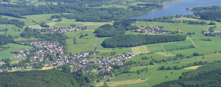
On the southern boundary of the Verbandsgemeinde of Hachenburg (a kind of collective municipality whose seat is in the like-named town), in the northwest of the Westerwaldkreis, on the Westerwald Lake Plateau and on the Wied lies the community of Steinebach an der Wied.
Constituent communities
Steinebach an der Wied’s Ortsteile are Steinebach, Schmidthahn, Langenbaum and Seeburg.
Community council
The council is made up of 13 council members, including the extraofficial mayor (Bürgermeister), who were elected in a majority vote in a municipal election on 13 June 2004.
Buildings
In the community are found the ruins of a castle, Burg Steinebach (on the Wied).
Transport
Steinebach an der Wied is linked to the long-distance road network by Bundesstraße 8, which also links the community with the middle centres of Hachenburg and Altenkirchen. The Autobahn interchanges Mogendorf and Dierdorf on the A 3 (Cologne–Frankfurt) can be reached by way of Bundesstraße 8/Bundesstraße 413. The Hennef interchange on the A 5 can be reached directly by Bundesstraße 8. The nearest InterCityExpress stop is the railway station at Montabaur on the Cologne-Frankfurt high-speed rail line.