
Time zone CET (UTC+1) Website kreis-steinburg.de Team Itzehoer SV | Vehicle registration IZ | |
 | ||
Points of interest Kiel Canal, Brockdorff‑Palais, Palais für aktuelle Kunst, IZ4Kids Piratenland, Wenzel‑Hablik‑Museum Destinations | ||
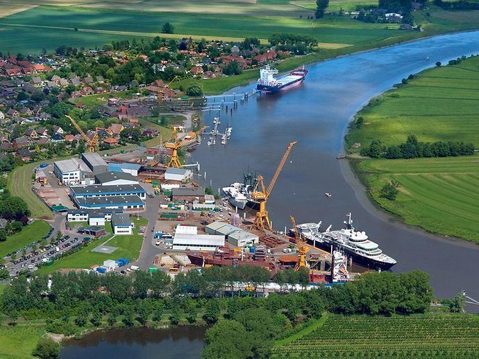
Steinburg is a district in Schleswig-Holstein, Germany. It is bounded by (from the west and clockwise) the districts of Dithmarschen, Rendsburg-Eckernförde, Segeberg and Pinneberg, and by the Elbe River (and the district of Stade beyond).
Contents
Map of Steinburg, Germany
History
The district's name is derived from a medieval castle called Steinburg, where the reeves ruled by order of their lords, the dukes of Holstein. This castle was first mentioned in 1307, and it was abandoned and demolished in 1630. However, Steinburg remained the name of the region, and its new centre became Glückstadt before gradually moving to the town of Itzehoe.
When Schleswig-Holstein became a province of Prussia in 1867, the district of Steinburg was established. The borders remained unchanged until 1970 when the newly founded town Schenefeld (formerly part of Rendsburg district) joined Steinburg.
Geography
The district is situated on the northern bank of the Elbe river, close to its mouth. The countryside is very plain. The Stör river, a right-hand tributary of the Elbe, flows through the district. Today the towns in Steinburg gradually become a part of the growing Hamburg metropolitan area. The lowest land point of the Federal Republic of Germany at 3,54 meters below sea level is located near the city of Wilster. Steinburg's highest point is the Itzespitze (83.4 m).