
Country United States GNIS ID 1659865 Elevation 7 m | FIPS code 06-74046 Local time Sunday 11:20 PM | |
 | ||
Weather 12°C, Wind W at 19 km/h, 86% Humidity | ||
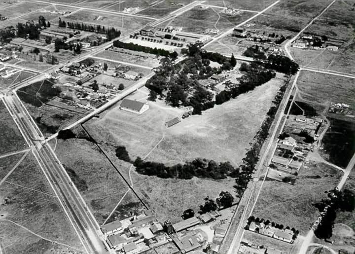
Stege, founded in 1876, was an unincorporated community in western Contra Costa County, California, United States. The town has now been annexed and absorbed by the cities of Richmond and El Cerrito, California. It was located on the Southern Pacific Railroad 1.5 miles (2.4 km) south-southeast of downtown Richmond, at an elevation of 23 feet (7 m). The site is now located in the area known as the Richmond Annex, at coordinates: 37°55′00″N 122°19′38″W.
Map of Stege, Richmond, CA 94804, USA
It was a farm town founded by Richard Stege that surrounded his ranch and featured a general store and railroad stop. The town had a largely agricultural economy, which included ranching, mining, chemical, and explosives manufacturing and frog farming for domestic consumption.
A post office operated at Stege from 1889 to 1935. The name of the community is still used for the Stege Sanitary District, a special district created in 1913, which continues to provide sewer service for El Cerrito, Kensington, and the Richmond Annex.