
 | ||
Restaurants Asian Pearl Seafood Restaurant, Daimo Chinese Restaurant, Inca's Palace, Yoshio Sushi, Ancient Szechuan | ||
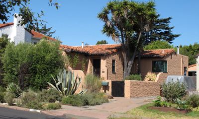
Richmond Annex or The Annex is a neighborhood in southeastern Richmond, California. It is mostly residential and located between San Pablo Avenue/El Cerrito to the east, San Francisco Bay to the west, Central Avenue/Cerrito Creek/Albany Hill/Albany/Alameda County to the south, and Potrero Avenue/Pullman to the north. Carlson Boulevard is the main thoroughfare through the annex, connecting downtown Richmond with downtown El Cerrito.
Map of Richmond Annex, Richmond, CA, USA
According to a local history written down by Fay Breneman circa 1941, "The land now known as Richmond Annex was farmed by the Conlon Brothers." In recent years, Richmond Annex has been home to the Pacific East Mall, a large collection of Chinese stores, the largest of its kind in the East Bay.
Recently the residents have been debating the development of the old UC Berkeley Field Station, which is proposed to have highrise office buildings and thousands of new housing units. Objectors believe the added traffic and blockage of bay views will detract from their neighborhood quality of life.
The residents have also rallied successfully for a cell phone tower to not be built, had major input on the Carlson boulevard Interstate 80 overpass mural, and kept Fairmont elementary school in neighboring El Cerrito from being closed.