 | ||
Similar South Point, Cape Byron, Monkey Mia, Useless Loop - Western, Tamala Station | ||
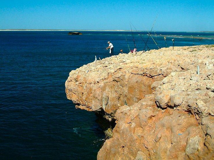
Land based rock fishing steep point sd
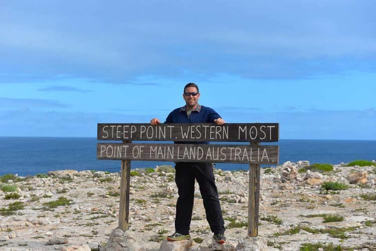
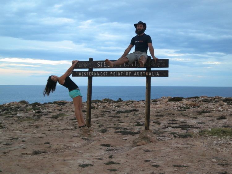
Steep Point is the westernmost point of the Australian mainland, located at 26°09′05″S 113°09′18″E. It is located within the Edel Land National Park (proposed) in the Shark Bay World Heritage site within the Gascoyne region of Western Australia.
Contents
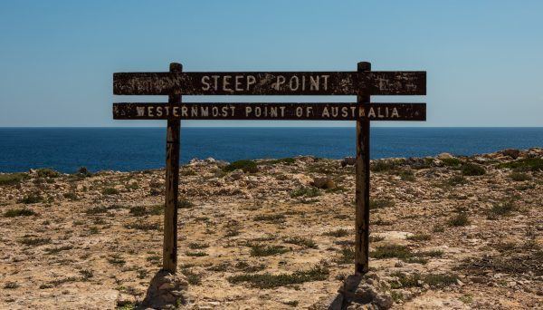
Dirk Hartog Island is immediately north of Steep Point across the South Passage, the closest named point being Surf Point (26°7′26″S 113°10′46″E).
The nearest town is Denham in the area of Shark Bay, which is 232 kilometres from the point by road, with the point some 200 kilometres (120 mi) from the North West Coastal Highway.
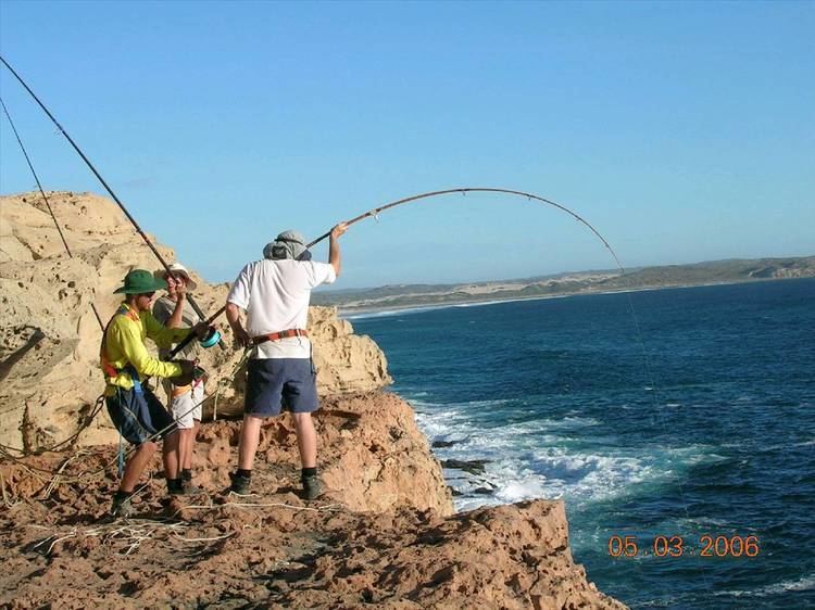
Steep Point is also one of Australia's most renowned land-based fishing, with over 320 species of fish that have been caught off the point, mackerel, sailfish and trevally the most common. Serious fishers harness themselves into the cliff, then float their baits off the cliff using helium balloons and haul their catches up using special gaffs, though it is very common that a shark takes the fisher's catch before it can get up onto the cliff.
It is often cited as a reference point for other places and issues - for example, the location of the wreck of HMAS Sydney or other locations on the coast.
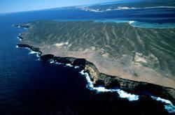
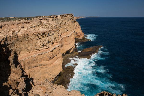
Also the cliff-lined coast that runs south is often referred to in terms of wrecks and survivors of wrecks, being called in one book the Castaway Coast.
On 17 July 2006, the largest recorded tsunami to strike Australia was measured at 7.9 m at Steep Point after being triggered by an earthquake off Java in Indonesia.
Access to Steep Point is by four-wheel drive vehicle only through sand dunes. A permit is required and can be purchased at the rangers house in Edel Land National Park (proposed). Basic camping areas and facilities are also available.
