
Local time Monday 1:20 AM | Elevation 128 m | |
 | ||
Weather 3°C, Wind W at 6 km/h, 84% Humidity Voivodeship | ||
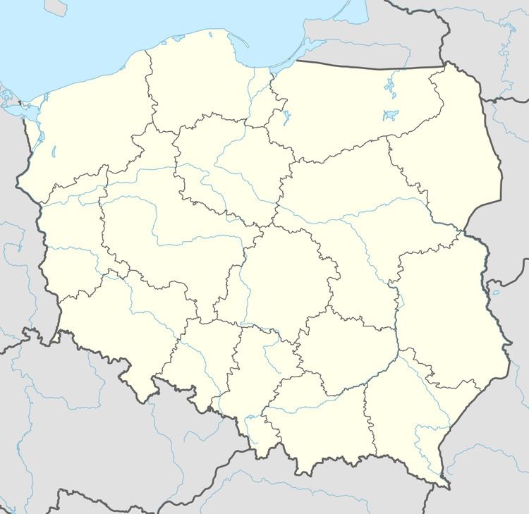
Stawno [ˈstavnɔ] (formerly German Stöwen) is a village in the administrative district of Gmina Złocieniec, within Drawsko County, West Pomeranian Voivodeship, in north-western Poland. It lies approximately 8 kilometres (5 mi) south-west of Złocieniec, 14 km (9 mi) south-east of Drawsko Pomorskie, and 92 km (57 mi) east of the regional capital Szczecin.
Map of Stawno, Poland
Before 1945 the area was part of Germany. For the history of the region, see History of Pomerania.
References
Stawno, Drawsko County Wikipedia(Text) CC BY-SA