Country United States GNIS feature ID 58684 Population 116 (2010) | Time zone Central (CST) (UTC-6) Elevation 78 m Area code 870 | |
 | ||
Area 6.309 km² (6.301 km² Land / 7,770 m² Water) | ||
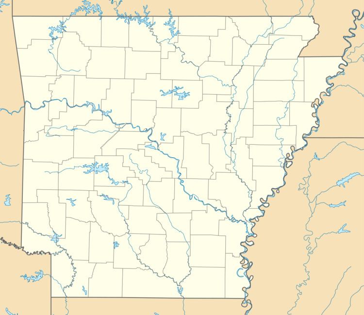
Staves is a census-designated place in Cleveland County, Arkansas, United States. Its population was 116 as of the 2010 census.
Map of Staves, AR 71665, USA
Staves was known locally as the "Y" Community, because State Route 212 created a "Y" where it intersected State Route 35, with connectors leading both north and south from State Route 212's east-west direction. The road has since been modified and a third stretch of road has been added to connect State Route 212 at a 90 degree angle to State Route 35.
References
Staves, Arkansas Wikipedia(Text) CC BY-SA
