
Basin countries United Kingdom Area 85 ha Inflow source River Dove | Primary inflows Surface area 209 acres (85 ha) Mean depth 25 m | |
 | ||
Similar Foremark Reservoir, Hick's Lodge, Chaddesden Park, Calke Abbey, Branston Water Park | ||
Deer watching staunton harold reservoir calke abbey short walk
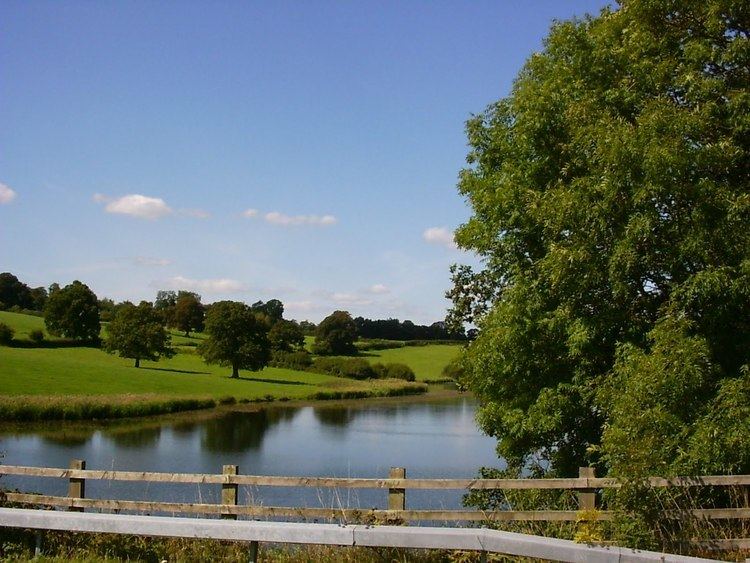
Staunton Harold Reservoir is a large reservoir under the management of Severn Trent Water, located between Melbourne and Ticknall in Derbyshire, England. Most of the water is within Derbyshire but a small part of the southern shore is over the border in Leicestershire.
Contents
- Deer watching staunton harold reservoir calke abbey short walk
- Map of Staunton Harold Reservoir United Kingdom
- References
Map of Staunton Harold Reservoir, United Kingdom
The reservoir was built in 1964 at the behest of the River Dove Water Board, meant to serve Leicester and the towns of northern Leicestershire. Although no villages were lost in the construction of the reservoir, Furnace Farm, New England Farm and Calke Mill were submerged; their remains lie 25 metres below the surface. The dam wall is a clay core construction, similar to the dam wall at Ladybower Reservoir. Part of the shoreline border the Calke Abbey estate, as well as the National Forest. The reservoir has a total surface area of 209 acres (0.85 km2).
Staunton Harold hosts a natural habitat for much bird and plant life, and is also home to Dimmingsdale Nature Reserve. There is also a sailing club, a visitors' centre and a children's adventure playground available to visitors. A non-functioning windmill dominates the skyline close to the visitors' centre called Tower Windmill, built in 1797 by the first Lord Melbourne at a cost of £250.