
Country United States ZIP codes 28676 Zip code 28676 | State North Carolina Time zone Eastern (EST) (UTC-5) Area 68 km² Local time Sunday 12:18 PM | |
 | ||
Weather 16°C, Wind S at 11 km/h, 81% Humidity | ||
Wakefield farms state road north carolina
State Road is an unincorporated community located in the Bryan Township of Surry County, North Carolina and part of Edwards III Township in eastern Wilkes County, North Carolina. As of the 2000 census, the State Road postal district (28676) had a total population of 3,047.[1] The community's unique name is derived from its location on U.S. Route 21. Legend has it that when US 21 was first being built, locals constructed a horseshoe pit on the graded road surface. On Sunday afternoons when they got together to pitch horseshoes they would say "let's go to state road" and the name stuck.
Contents
Map of State Rd, NC 28676, USA
Geography
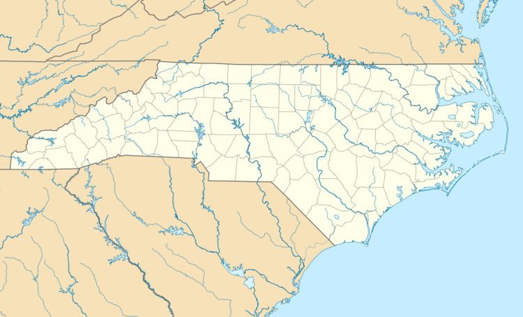
State Road is located at 36°17' North, 80°51' West (36.396418 N, 80.89226 W)
According to the United States Census Bureau, the community has a total area of 26.26 square miles (68.0 km2). The Community is serviced by State Road Vol. Fire Dept. Founded in 1960.