
Lowest elevation 258 m (846 ft) Local time Sunday 2:58 PM | Highest elevation 265 m (869 ft) Population 720 | |
 | ||
Weather 8°C, Wind N at 13 km/h, 45% Humidity | ||
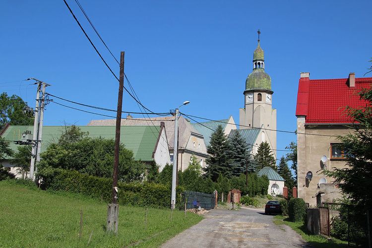
Stary Las [ˈstarɨ ˈlas] (German Altewalde) is a village in the administrative district of Gmina Głuchołazy, within Nysa County, Opole Voivodeship, in south-western Poland, close to the Czech border. It lies approximately 9 kilometres (6 mi) north of Głuchołazy, 11 km (7 mi) south-east of Nysa, and 49 km (30 mi) south-west of the regional capital Opole.
Map of Stary Las, Poland
Before 1945 the area was part of Germany (see Territorial changes of Poland after World War II).
The village has a population of 720.
References
Stary Las, Opole Voivodeship Wikipedia(Text) CC BY-SA