
Country United States Time zone Pacific (PST) (UTC-8) Local time Sunday 5:33 AM | Elevation 1,332 ft (406 m) Area code(s) 458 and 541 | |
 | ||
Weather 4°C, Wind S at 11 km/h, 88% Humidity | ||
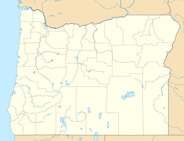
Starvation Heights is an unincorporated community in Jackson County, in the U.S. state of Oregon. It is about 4 miles (6 km) north of the community of Rogue River, and 9 miles (14 km) east-northeast of Grants Pass. It lies along East Evans Creek Road off Interstate 5 and Oregon Route 99.
Map of Starvation Heights, OR 97537, USA
It was named before 1883 for its poor and infertile soil, a granite-like mix which supported only scrub vegetation. The neighboring rise is slightly lower in elevation, but had rich soil. Failed farmers were said to be "starved out" when they moved on.
References
Starvation Heights, Oregon Wikipedia(Text) CC BY-SA