
 | ||
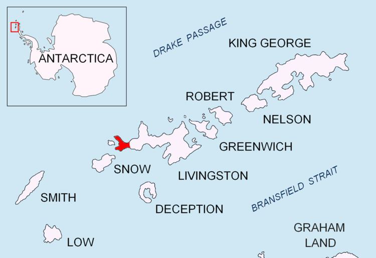
Start Point is a point marking the northwest end of Byers Peninsula, Livingston Island in the South Shetland Islands, Antarctica and forming the southwest side of the entrance to Svishtov Cove and the northeast side of the entrance to the New Plymouth bay. Discovered by Edward Bransfield in January 1820, and so named by him because of its resemblance to a point on the south coast of England by the same name and because it was the place where his operations began.
Contents
Location
The point is located at 62°35′20″S 61°12′57.9″W which is 2.18 km southwest of Essex Point and 5.15 km northeast of Cape Sheffield (British mapping in 1820 and 1968, detailed Spanish mapping in 1992, and Bulgarian mapping in 2005 and 2009).
Maps
References
Start Point (Livingston Island) Wikipedia(Text) CC BY-SA