
District Boykivske Raion Elevation 97 m (318 ft) Area 3.96 km² | Founded 1788 Time zone EET (UTC+2) | |
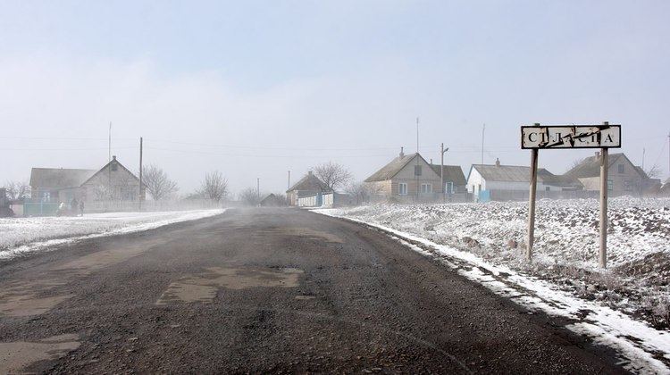 | ||
Starolaspa (Ukrainian: Староласпа; Russian: Староласпа; Urum: Эст’и Ласпи) is a village in Boykivske Raion (district) in Donetsk Oblast of eastern Ukraine, at 67.7 km SSE from the centre of Donetsk city, on the right bank of the Kalmius river.
Contents
Map of Starolaspa, Donetska, Ukraine
During the War in Donbass, that started in 2014, the village was taken under control of pro-Russian forces.
Demographics
Native language as of the Ukrainian Census of 2001:
References
Starolaspa Wikipedia(Text) CC BY-SA