
Area 41 ha Population 237 (2002) | Traditional region Styria Elevation 157 m Local time Sunday 11:06 AM | |
 | ||
Weather 8°C, Wind E at 11 km/h, 63% Humidity | ||
Stari Grad ([ˈstaːɾi ˈɡɾaːt]; German: Oedenschloß) is a settlement east of the town of Krško in eastern Slovenia. The area was traditionally part of Styria. It is now included with the rest of the municipality in the Lower Sava Statistical Region.
Contents
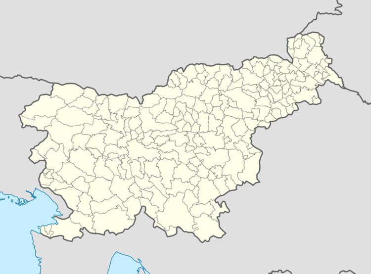
Map of 8270 Stari Grad, Slovenia
Name
The name of the settlement was changed from Stari Grad pri Vidmu to Stari Grad in 1990. In the past the German name was Oedenschloß.
Mass grave
Stari Grad is the site of a mass grave from the end of the Second World War. The Stari Grad Mass Grave (Slovene: Grobišče Stari Grad) is located on the north side of the road from Krško to Brežice. It contains the remains of an unknown number of Croatian refugees.
Church
The local church is dedicated to Saint Nicholas (Slovene: sveti Miklavž) and belongs to the Parish of Videm–Krško. It is a Baroque church, built in 1627 to commemorate the victims of the plague.