
OS grid ST240166 Elevation 315 m Parent peak Dunkery Hill | Topo map OS Landranger 193 Prominence 212 m | |
 | ||
Similar Wills Neck, Lewesdon Hill, Pilsdon Pen | ||
Staple Hill is a hill in the English county of Somerset, the highest point in the Blackdown Hills. It is classed as both a Marilyn and a Hardy.
Map of Staple Hill, Taunton, UK
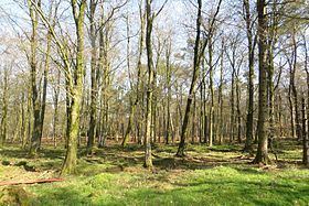
This is one of the points on the Staple Fitzpaine Herepath a part of the Forestry Commission woodlands.
There is a loop walk, starting from the car parking area, of 800m taking in a couple of view points with the paths upgraded early in 2009 to be suitable for disabled access.
References
Staple Hill (Somerset) Wikipedia(Text) CC BY-SA