
Country United States Time zone CST (UTC-6) Elevation 137 m Local time Saturday 4:26 PM | Established November 5, 1861 ZIP codes 62824, 62839, 62858 Area 137.4 km² Population 599 (2010) | |
 | ||
Weather 18°C, Wind S at 18 km/h, 78% Humidity | ||
Stanford Township is one of twelve townships in Clay County, Illinois, USA. As of the 2010 census, its population was 599 and it contained 269 housing units.
Contents
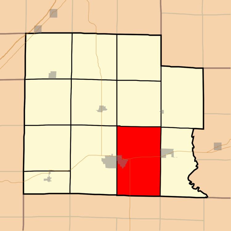
- Map of Stanford Township IL USA
- Geography
- Cities towns villages
- Cemeteries
- Major highways
- Airports and landing strips
- School districts
- Political districts
- References
Map of Stanford Township, IL, USA
Geography
According to the 2010 census, the township (T2&3N R7E) has a total area of 53.04 square miles (137.4 km2), of which 52.98 square miles (137.2 km2) (or 99.89%) is land and 0.07 square miles (0.18 km2) (or 0.13%) is water.
Cities, towns, villages
Cemeteries
The township contains these five cemeteries: Bloom, Kneff, McCawley, Mount Zion United Brethren and Rusk.
Major highways
Airports and landing strips
School districts
Political districts
References
Stanford Township, Clay County, Illinois Wikipedia(Text) CC BY-SA