Population 429 (2011) Local time Saturday 9:34 PM District Shepway | Sovereign state United Kingdom Postcode district TN25 Dialling code 01303 | |
 | ||
Weather 8°C, Wind NE at 29 km/h, 70% Humidity | ||
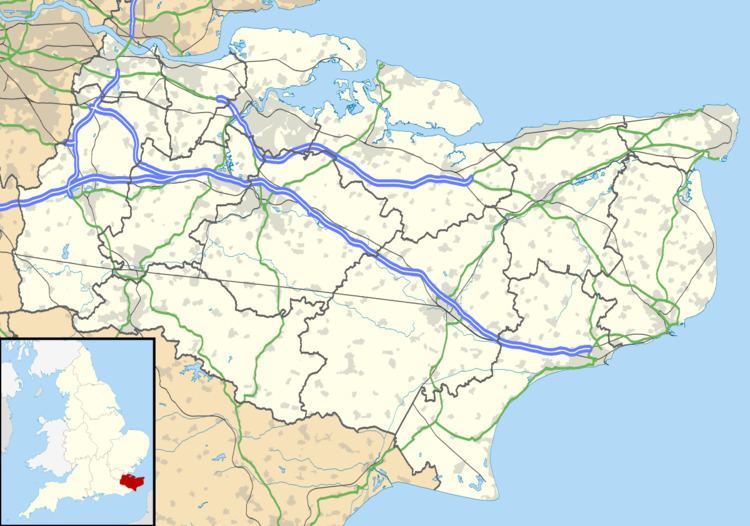
Stanford is a village in Kent, England, close to Folkestone, and within the Parish of Stanford. It is part of the Folkestone and Hythe parliamentary constituency, and administratively part of the District of Shepway, whose council headquarters are in Folkestone.
Map of Stanford, Ashford, UK
It has been divided by the M20 into Stanford North and Stanford South. The Stanford Windmill is to the north of the M20 and west of the ancient Roman Stone Street. The parish church is All Saints. The 2011 Census population includes the village of Westenhanger.
References
Stanford, Kent Wikipedia(Text) CC BY-SA
