
 | ||
Similar Slate Run, Marsh Creek, Chillisquaque Creek, Alan Seeger Natural A, Greenwood Furnace State Park | ||
Standing Stone Creek is a 34.2-mile-long (55.0 km) tributary of the Juniata River in Huntingdon and Centre counties, Pennsylvania, in the United States.
Contents
Map of Standing Stone Creek, Pennsylvania, USA
Allegedly, when the first European visitors arrived at the creek's mouth, they found a Native American camp whose lodges were arranged in a circle, centered by a 14-foot-high, six-inch-square stone pillar, marked with petroglyphs. When the Native Americans left, they took the stone with them. But the creek's name remains in memory of that monument.
Standing Stone Creek begins in Centre County within Rothrock State Forest, just north of Penn-Roosevelt State Park. Standing Stone Creek joins the Juniata River in the borough of Huntingdon.
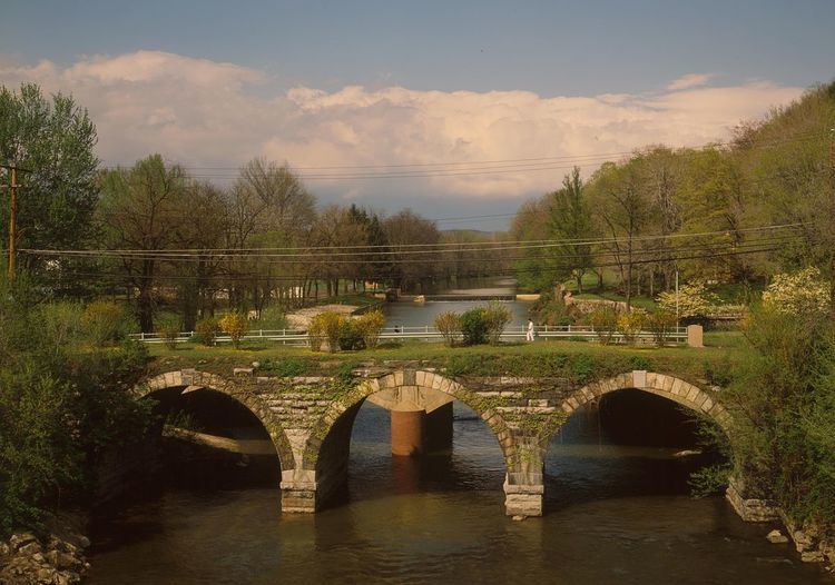
BridgesEdit
References
Standing Stone Creek Wikipedia(Text) CC BY-SA