Country United States County Isanti Time zone Central (CST) (UTC-6) Elevation 287 m | State Minnesota GNIS feature ID 652540 Area code 763 | |
 | ||
Area 138 ha (138 ha Land / 2,590 m² Water) | ||
Stanchfield is an unincorporated community and census-designated place (CDP) in Stanchfield Township, Isanti County, Minnesota, United States. As of the 2010 census, its population was 118.
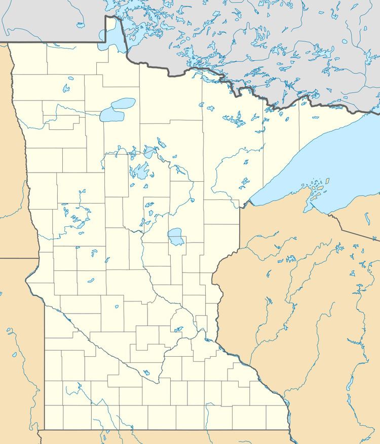
Map of Stanchfield, MN 55080, USA
Isanti County Roads 3 and 36; and State Highway 65 (MN 65) are three of the main routes in the community.
The community is located between Cambridge and Braham. Grandy is nearby.
References
Stanchfield, Minnesota Wikipedia(Text) CC BY-SA
