
Population 414 (2011 census) Elevation 144 m Local time Sunday 5:07 AM | Postcode(s) 2705 Postal code 2705 | |
 | ||
Weather 19°C, Wind E at 10 km/h, 87% Humidity | ||
Stanbridge is a town/community in the central part of the Riverina. It is situated by road, about 6 kilometres east from Whitton, 8 kilometres north west from Gogeldrie and 20 kilometres west of Leeton. At the 2011 census, Stanbridge had a population of 414 people.
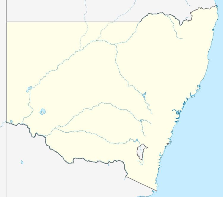
Map of Stanbridge NSW 2705, Australia
A major employer is Freedom Foods, a maker of health foods including cereals biscuits and bars. The company moved to Stanbridge from Melbourne in 2009 and employs about 76 people.
References
Stanbridge, New South Wales Wikipedia(Text) CC BY-SA