
Population 144 (2006 census) Postal code 2705 | Postcode(s) 2705 Elevation 148 m Local time Thursday 1:54 PM | |
 | ||
Weather 30°C, Wind W at 13 km/h, 42% Humidity | ||
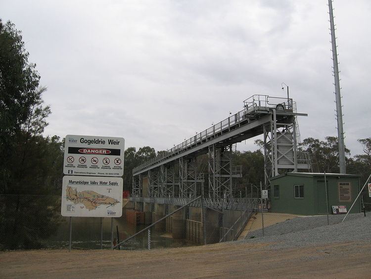
Gogeldrie is a town community in the central north part of the Riverina and situated about 11 kilometres west from Leeton and 11 kilometres east from Whitton. At the 2006 census, Gogeldrie had a population of 144 people.
Map of Gogeldrie NSW 2705, Australia
Gogeldrie Post Office opened on 15 May 1933 and closed in 1945.
References
Gogeldrie, New South Wales Wikipedia(Text) CC BY-SA