
Country United States FIPS code 23-73600 Elevation 161 m Population 396 (2010) Area code 207 | Time zone Eastern (EST) (UTC-5) GNIS feature ID 0582743 Zip code 04782 Local time Saturday 5:58 AM | |
 | ||
Weather -2°C, Wind W at 10 km/h, 84% Humidity Area 102.4 km² (102.4 km² Land / 3 ha Water) | ||
Stacyville is a town in Penobscot County, Maine, United States. The population was 396 at the 2010 census.
Contents
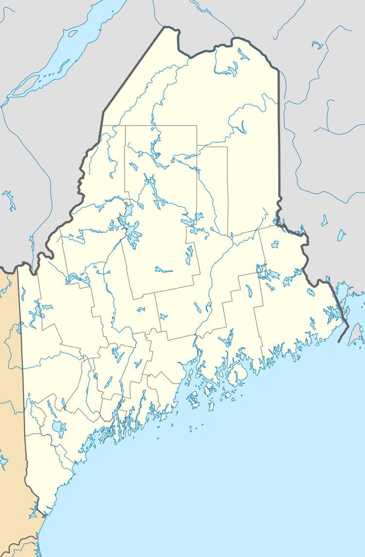
Map of Stacyville, ME, USA
Geography
According to the United States Census Bureau, the town has a total area of 39.54 square miles (102.41 km2), of which, 39.53 square miles (102.38 km2) of it is land and 0.01 square miles (0.03 km2) is water.
2010 census
As of the census of 2010, there were 396 people, 162 households, and 107 families residing in the town. The population density was 10.0 inhabitants per square mile (3.9/km2). There were 224 housing units at an average density of 5.7 per square mile (2.2/km2). The racial makeup of the town was 96.5% White, 0.3% African American, 0.8% Native American, 0.3% Asian, 0.3% from other races, and 2.0% from two or more races. Hispanic or Latino of any race were 0.8% of the population.
There were 162 households of which 31.5% had children under the age of 18 living with them, 48.1% were married couples living together, 11.1% had a female householder with no husband present, 6.8% had a male householder with no wife present, and 34.0% were non-families. 27.2% of all households were made up of individuals and 9.2% had someone living alone who was 65 years of age or older. The average household size was 2.44 and the average family size was 2.96.
The median age in the town was 42 years. 24.2% of residents were under the age of 18; 7.8% were between the ages of 18 and 24; 22.2% were from 25 to 44; 30.8% were from 45 to 64; and 15.2% were 65 years of age or older. The gender makeup of the town was 54.8% male and 45.2% female.
2000 census
As of the census of 2000, there were 405 people, 162 households, and 115 families residing in the town. The population density was 10.1 people per square mile (3.9/km²). There were 226 housing units at an average density of 5.7 per square mile (2.2/km²). The racial makeup of the town was 94.32% White, 1.73% Native American, 0.25% Asian, 0.99% from other races, and 2.72% from two or more races. Hispanic or Latino of any race were 1.73% of the population.
There were 162 households out of which 31.5% had children under the age of 18 living with them, 62.3% were married couples living together, 5.6% had a female householder with no husband present, and 28.4% were non-families. 22.2% of all households were made up of individuals and 8.0% had someone living alone who was 65 years of age or older. The average household size was 2.50 and the average family size was 2.90.
In the town, the population was spread out with 25.7% under the age of 18, 5.9% from 18 to 24, 27.4% from 25 to 44, 24.0% from 45 to 64, and 17.0% who were 65 years of age or older. The median age was 41 years. For every 100 females there were 89.3 males. For every 100 females age 18 and over, there were 95.5 males.
The median income for a household in the town was $26,667, and the median income for a family was $30,982. Males had a median income of $30,972 versus $15,417 for females. The per capita income for the town was $11,951. About 12.8% of families and 17.7% of the population were below the poverty line, including 22.8% of those under age 18 and 9.6% of those age 65 or over.