
Local time Saturday 1:56 AM Number of airports 1 | Province Manitoba | |
 | ||
Weather -13°C, Wind SE at 8 km/h, 75% Humidity | ||
St theresa point first nation client profile
St. Theresa Point is the largest and most populated of 3 reserves of St. Theresa Point First Nation. The Oji-Cree First Nation of 2,871 people (2011 census) is located in northern Manitoba, Canada on the southern shore of Island Lake, the sixth largest lake in the province.
Contents
- St theresa point first nation client profile
- Map of Saint Theresa Point MB Canada
- Demographics
- St Theresa Point First Nation
- Territory
- References
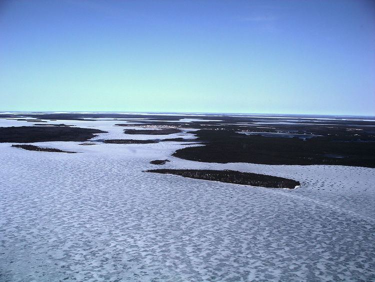
Map of Saint Theresa Point, MB, Canada
Located nearby on Island Lake are the First Nations communities of Wasagamack and Garden Hill and the northern settlement of Island Lake which with St. Theresa Point had a combined population of 7,120 in 2011. The St. Theresa Point reserve is bordered by the unorganized portion of Division No. 22, Manitoba, and by the Wasagamack First Nation.
The community is only accessible by airplane or winter ice roads (which continue north towards Garden Hill, and southwest towards Manigotagan, with a branch leading towards Berens River). The community is served by the nearby St. Theresa Point Airport. It has a local educational institution, St Theresa Point Regional Centre, with courses offered by the University College of the North and Assiniboine Community College.
Demographics
The community had a population of 2,871 in the Canada Census of 2011 an increase of 9.1% from a 2006 population of 2,632. The median age was 20.1. The population density was 18.7 per km2 and the land area was 153.38 km2. There are 478 housing units within the community.
St. Theresa Point First Nation
St. Theresa Point First Nation is a signatory of Treaty 5. As of December 2014 the First Nation had a registered population of 4,069 out of which 3,795 lived on their own reserve. The First Nation has a Custom Electoral System and is governed by an elected Chief and eight councillors. The First Nation is affiliated with the Island Lake Tribal Council
Territory
St. Theresa Point First Nation has reserved for itself three reserves: