
Country United States FIPS code 18-66870 Local time Friday 2:05 PM | Elevation 679 ft (207 m) GNIS feature ID 453819 Population 66,741 (2010) | |
 | ||
Weather 4°C, Wind N at 24 km/h, 92% Humidity Points of interest Sky Zone Trampoline Park, Zig‑E's Funland, Redar Park, Pheasant Hills Park, Jak's Warehouse | ||
St. John Township is one of eleven townships in Lake County, Indiana. As of the 2010 census, its population was 66,741 and it contained 25,691 housing units.
Contents
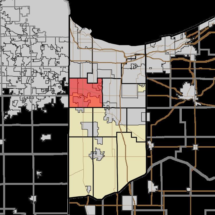
Map of St John Township, IN, USA
History
St. John Township was established in 1848. It was named for John Hack, the first German settler.
Geography
According to the 2010 census, the township has a total area of 39.37 square miles (102.0 km2), of which 39.2 square miles (102 km2) (or 99.57%) is land and 0.17 square miles (0.44 km2) (or 0.43%) is water.
The township includes the towns of Dyer, Schererville and St. John as well as the unincorporated areas of these towns.
Zip codes in the township include 46307, 46311, 46319, 46373, and 46375. The State House districts are IN-11 and IN-15, and the State Senate districts are IN-1, IN-6, and a small portion of IN-2.
Demographics
The racial makeup of the township is 82.1% non-Hispanic White, 11.3% Hispanic, 2.73% African American, 2.23% Asian, 0.58% from other races, and 1.13% from two or more races. The percentages of Hispanic and African American residents are, respectively, 5.4 and 22.6 percent lower than Lake County as a whole.
Native-born citizens make up 91.9% of the population. Naturalized citizens are 5.3% of the population, while 1.9% are not citizens. The top ten countries of birth for foreign-born residents are Mexico, India, Croatia, Poland, Serbia, Greece, Macedonia, Philippines, Germany, and Bosnia and Herzegovina. The most common self-reported ancestries are: German (23.1%), Polish (17%), Irish (15.9%), Mexican (8.72%), Unclassified/Unreported (8.5%), Italian (8.1%), English (7.3%), Dutch (5.6%), American (4.7%), and Serbian (2.8%).