
Native name Trogenerbahn Status Operational Owner Appenzell Railways | System St. Gallen S-Bahn Electrification 600 V DC/1000 V DC | |
 | ||
Line length 9.8 kilometres (6.1 mi) Number of tracks Mixture of single and double track Track gauge Metre gauge railway (3 ft 3 ³⁄₈ in) | ||
The St. Gallen–Trogen railway line, or Trogenerbahn (TB), is a 9.8 kilometres (6.1 mi) long railway line in Switzerland. It links the city of St. Gallen,in the canton of St. Gallen, with Speicher and Trogen, both in the canton of Appenzell Ausserrhoden. Passenger service on the line now forms part of the St. Gallen S-Bahn, branded as the S21.
Contents
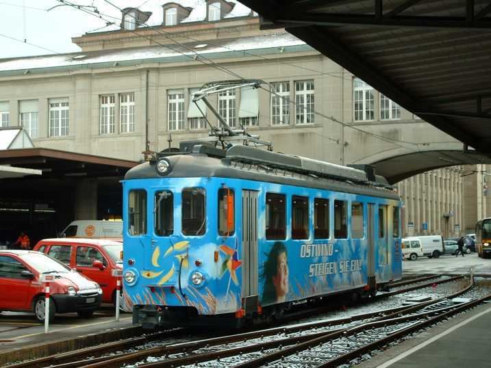
The line was opened in 1903, and was built as a rural electric tramway. Whilst much of the line has been upgraded, this is still apparent in the long stretches of roadside track, and in its exit from St. Gallen over street track. With a gradient of 7.6%, it is the steepest narrow-gauge adhesion railway in Switzerland.
The line is owned and operated by the Appenzell Railways company, which also operates several other railway lines in the two Appenzell cantons.
History
The line was opened on the 10 July 1903 by the Trogenerbahn AG company, with its headquarters in Trogen. From its terminus at St. Gallen railway station to the Brühltor, the line used the tracks of the St. Gallen city tramway.
In 2006 the company was merged into the Appenzell Railways.
Route
The line commences at St. Gallen railway station, where it shares a platform, but not tracks, with the St. Gallen–Gais–Appenzell railway line that is also owned and operated by the Appenzell Railways company. After leaving this platform, the Trogen line runs onto the street in front of the main station building. Now running on double track, it runs through the city streets for some 1.75 kilometres (1.09 mi), sharing its route for much of the way with routes of the city's trolleybus system that replaced the city tramway. There are three intermediate stops on this street section, at Marktplatz, Spisertor and Schülerhaus. Shortly after the latter stop, the track switches to a single-track alignment alongside the road to Trogen, an alignment it maintains all the way to its terminus, albeit with several intermediate passing loops.
From this point, the line affords views to the north over St. Gallen. Initially the lines runs on the northern side of the road, passing through the stops of Birnbäumen, Notkersegg, Schwarzer Bären and Rank. Once past the latter stop, the views to the north expand to include Lake Constance. The next stop is Vögelinsegg, after which the line crosses the road on a level crossing, before stopping at Schützengarten and Speicher, where the line's depot is located. Further stops at Bendlehn and Gfeld precede the terminus at Trogen.
The line is 9.8 kilometres (6.1 mi) in length, has a track gauge of 1,000 mm (3 ft 3 3⁄8 in) and a maximum gradient of 7.6%, and is electrified using an overhead line for current supply. On the street track section within the city of St. Gallen, where the railway's overhead line shares the street with that of the city's trolleybuses, the railway uses the same 600 V DC supply as the trolleybuses. Once on its own right-of-way, a 1,000 V DC supply is used.
Services
The line operates two trains per hour throughout the day, with four trains per hour during peak periods. The journey from St. Gallen to Trogen takes 25 minutes.
From Trogen a postbus connects with the upper station of the Rorschach–Heiden railway, also owned by the Appenzell Railways, at Heiden.