
OS grid reference SS958787 Country Wales Postcode district CF35 Local time Friday 7:33 AM Dialling code 01446 | Sovereign state United Kingdom | |
 | ||
Weather 11°C, Wind SW at 21 km/h, 89% Humidity | ||
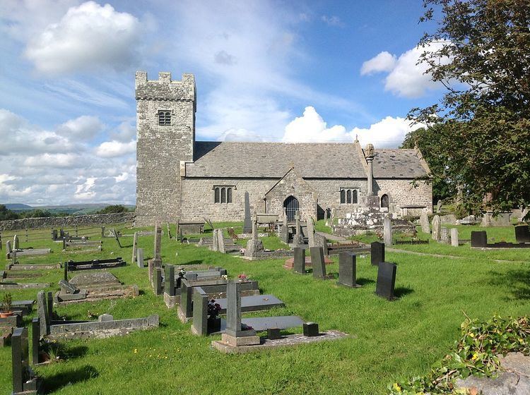
St Mary Hill is a settlement in the Vale of Glamorgan, Wales. It is located approximately 4 miles (6.4 km) north west of the market town of Cowbridge. It is part of the community of Llangan along with Treoes and the village of Llangan itself.
Contents
Map of St Mary Hill, Bridgend, UK
History
In the Middle Ages St Mary Hill was located partly within two manors, Gelligarn and Ruthin. Gelligarn, known historically as Kilticar, belonged to the De Alweias (De Haweys) during the 12th century. The De Alweias held the manor under the Le Sores of St Fagans, before it switched ownership to Neath Abbey during the reign of Henry II. The lordship of Ruthin, of which Gelligarn once formed part, contained the medieval parish church, known locally in the Welsh language as Eglwys Fair y Mynydd to distinguish it from a second St Mary Church located in Llanfair, also in the Vale of Glamorgan.