
Area 187 ha Population 4,455 (2006) | Local time Friday 7:29 PM | |
 | ||
Weather 17°C, Wind NE at 10 km/h, 79% Humidity | ||
St Martins is an inner suburb of Christchurch, New Zealand, located two kilometres south of the city centre. Primarily a residential area, St Martins was until recently host to a small shopping mall complex situated on Wilsons Road, the main thoroughfare through the suburb. The supermarket and surrounding businesses were badly damaged in the February 22, 2011 earthquake, but the supermarket has since been rebuilt.
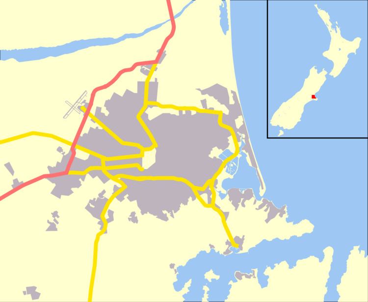
Map of St Martins, Christchurch, New Zealand
There are a number of schools in the suburb, including St Martins School, Hillview Christian School and the Rudolf Steiner School. Other amenities are the Hansen, Centaurus and St Martins Parks.
The origin of the name is unclear. The most likely candidates are that it was named after a gathering held at St Martin's Hall in London immediately prior to the departure of the Canterbury pilgrims who came to settle the area, or that it was named for an area with which the original owner of the holdings (Henry Phillips) was connected.
St Martins is unbound by law. Waltham to the north, Beckenham to the west, Huntsbury and Murray Aynsley to the south and Opawa to the east.