
Area 86 ha Local time Sunday 12:28 PM | Population 1,071 (2006) | |
 | ||
Weather 16°C, Wind NE at 11 km/h, 70% Humidity | ||
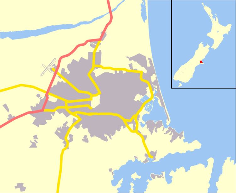
Waltham is an inner suburb of Christchurch, New Zealand, located two kilometres southeast of the city centre. State Highway 76, part of Christchurch's ring road system, runs through the suburb, as does the Lyttelton Line rail corridor.
Map of Waltham, Christchurch, New Zealand
Boundaries (in a clockwise direction) are Waltham Road, Moorhouse Avenue, Fitzgerald Avenue, Ferry Road, Ensors Road, and the Heathcote River. Waltham was originally part of the Sydenham borough and was incorporated into the City of Christchurch in 1903. It is named after the village of Waltham in Lincolnshire in England.
Waltham (as defined by the Statistics New Zealand meshblock) is about 1 square kilometre (0.39 sq mi). The suburb is a mixture of residential and both light and heavy industry. The suburb ranks below average in household income. The Christchurch gasworks was located at the inner boundary of Waltham until its closure ca. 1980.