
Type: Traffic circle | ||
 | ||
Maintained by: Department of Transport | ||
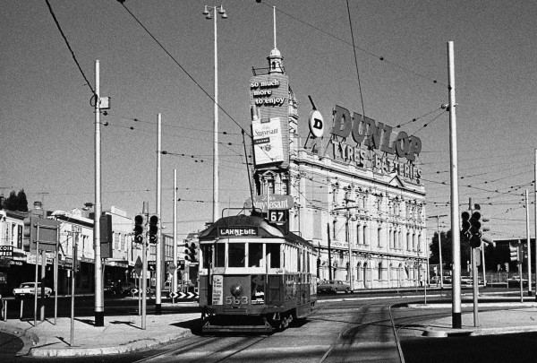
Trams at st kilda junction melbourne transport
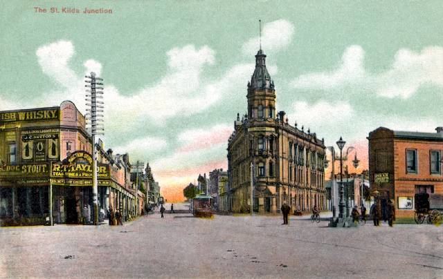
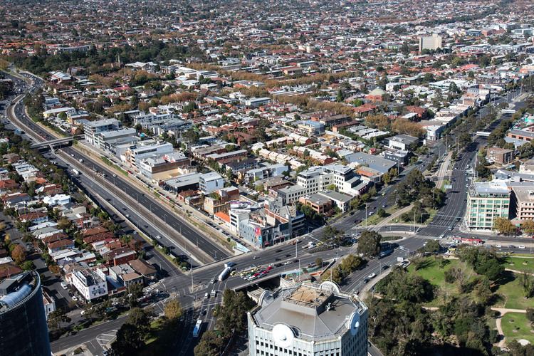
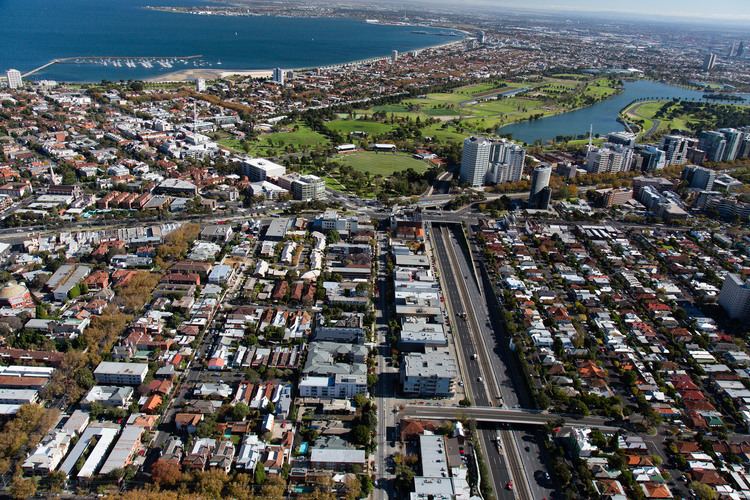
St Kilda Junction is a major intersection in Melbourne, Australia. It is located in the suburb of St Kilda, bordering Windsor and St Kilda East, and is the meeting point of the major roads Punt Road, St Kilda Road, Dandenong Road/Queens Way/Princes Highway and Fitzroy Street.
Contents
- Trams at st kilda junction melbourne transport
- St kilda junction melbourne 1983
- History
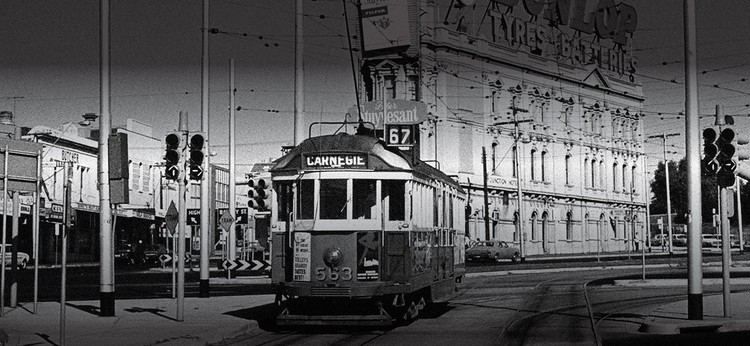
- Trams
- References
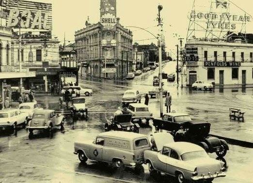
St kilda junction melbourne 1983
History
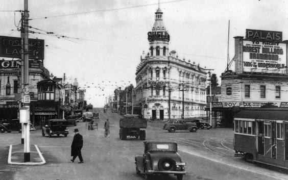
As late as 1966, St Kilda Junction, along with the Haymarket roundabout on Royal Parade, was one of two giant roundabouts with trams running through them in Melbourne.
St Kilda Junction in 1966 was an intersection between eight streets. These were, listed clockwise and starting from the north (with the route shields of the time shown):

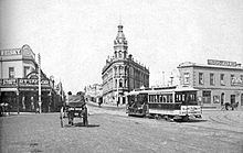
The intersection took the form of a large oval roundabout with another road link in the middle between the close edges. The trams from St Kilda Road traversed most of the intersection before splitting into three paths. Things were made all the more difficult by the fact that Queens Road joined the intersection at the point where the left service road of St Kilda Road left it.
In the late 1960s, the Bolte Government proposed plans for a major overhaul of the intersection. This ultimately led to its existing form.
Queens Road was rerouted slightly so it would enter the roundabout in the middle of its long side. It was then lowered and built under the rest of the intersection and joined a new street, Queens Way, which led into Dandenong Road (as Wellington Street did before it.) Queens Way also took Wellington Street's tram service. National Route 1 (or Alternate National Route 1, as it became when the Monash Freeway was built) was rerouted down Queens Road-Queens Way-Dandenong Road because it was much easier for traffic to pass the junction this way than from St Kilda Road. High street was widened and became known as the southern part of St Kilda Road. Passing through junction on the major thoroughfares was now easier in most cases, but also impossible in others. For example, one could not go from Queens Way (heading west) to Punt Road anymore. Instead, one has to drive to the first right turn on Queens Road (Union Street) to access St Kilda Road or Punt Road.
The trams were also realigned. The tramline was lowered to halfway between the first and second levels in the centre of the junction, with trams able from there to reascend and continue down St Kilda Road or turn into Fitzroy Street, or descend further and turn into Queens Way. Overall, the junction expanded slightly, and taking in the points of intersection of all original streets, the junction now encompasses twelve streets. The tramline once diverted around the old Junction Hotel, a grand Coffee Palace, which remained for some time before it was eventually demolished and became part of the median strip. the bridge designs for this work were undertaken by Melbourne engineer Bruce Day.
St Kilda Junction is also the location of one of Melbourne's well loved suburban football/cricket ovals, the St Kilda Cricket Ground, which is affectionately known as the Junction Oval. Some of the parkland surrounding the Junction Oval was relinquished in the Queens Road realignment, but the original oval itself and the indigenous heritage Corroboree tree remained intact.
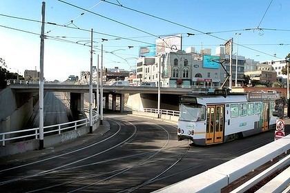
In 2014 a move to return the St Kilda Football Club operations and training to Junction Oval with Cricket Victoria and Government assistance is being developed. Meanwhile, the St Kilda Junction Area Action Group (JaagStKilda.com) in October 2014 successfully lobbied VicRoads and the State Government for the unsafe and unfriendly underpass to be upgraded with new lighting and a major clean up. However pedestrian, tram and bus stop and cyclists access issues through the Junction remain to be addressed and improved by VicRoads.
Trams
The following tram routes pass though St Kilda Junction:
Heading North:
Heading West:
Heading South:
Heading East: