
Location Great Lakes Highest point Mount St Ignace Elevation 569 m Province Ontario | Highest elevation 569 m (1,867 ft) Population Uninhabited Area 274 km² | |
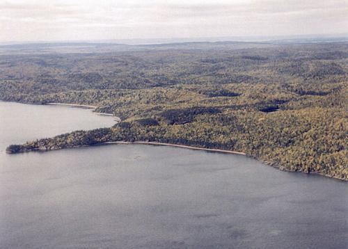 | ||
Simpson island st ignace island simpson island
St Ignace Island (French: Île Saint-Ignace) is a large uninhabited island in Lake Superior, situated off the north shore at the entrance to Nipigon Bay, in Northern Ontario, Canada. The English name is a translation of the original French name given it by Jesuit missionaries in honor of their founder St. Ignatius of Loyola. The island is clearly depicted on the 1669 map "Lac Tracy ou Superieur avec les dependances de la Mission du Saint Esprit" attributed to Claude-Jean Allouez and Jacques Marquette.
Contents
- Simpson island st ignace island simpson island
- Map of St Ignace Island Unorganized Thunder Bay District ON Canada
- References
Map of St Ignace Island, Unorganized Thunder Bay District, ON, Canada
The second largest island in Lake Superior and the fifth largest in the Great Lakes, St Ignace Island has an area of 274 square kilometres (106 sq mi).
Nipigon Strait separates it from the large Black Bay peninsula. St Ignace Island lies next to Simpson Island. The island is about 20 km from the nearest community, Red Rock, Ontario. Mount St Ignace is the highest point (about 569 metres above sea level), and the highest point on Lake Superior, though lower than the highest point in Ontario Ishpatina Ridge 693 metres.